The viDoc® Model 24 with Multi-Measurement Tool is a high-precision, portable GNSS-based measurement and documentation system designed for professionals in surveying, construction, asset inspection, engineering, and field mapping. It transforms compatible iPhones into powerful, centimeter-accurate surveying tools—pocket-sized yet capable of delivering reliable geo-referenced data without bulky equipment.

Key Features & Benefits

  • Centimeter-Level Accuracy — Achieve precise measurements up to 1 cm + 1 ppm with RTK GNSS support, multi-measurement tools (front & ground lasers), and advanced error filtering for enhanced reliability.
  • Seamless iPhone Integration — Mounts securely via a dedicated viDoc® Case for latest iPhone Pro models. Paired with the viDoc app (or compatible third-party apps), it enables real-time single-point measurements, stakeouts, distance/area calculations, geo-tagged photos, and guided documentation.
  • Multi-Measurement Tool — Includes integrated lasers for enhanced targeting and data capture, ideal for construction diaries, progress tracking, photogrammetry inputs, and 3D model pass points.
  • Portable & Rugged — Compact design fits in your pocket or toolbox. Optimized stable connector, updated electronics, and firmware for consistent performance in the field.
  • Flexible GNSS Options — Supports NTRIP for high-accuracy positioning. Export data locally or to cloud services for 3D point clouds and AI-processed models.

Discover viDoc Model 24 with Multi-Measurement Tool

Dedicated Expert Team
Backed by knowledgeable pros with years of experience in tech/gear/products, we're here 24/7 to guide you. From in-depth troubleshooting to personalized recommendations, count on prompt, friendly, and expert-level support whenever you need it.
Bespoke Solutions
Bespoke Solutions
From minor tweaks to complete custom configurations, we deliver tailored products that fit your unique use case. Backed by expert consultation, fast turnaround, and full warranty coverage—personalized without compromise.
24/7 Expert Support
Round-the-clock assistance from our specialists - Email or Call anytime for fast, reliable answers.
1-Year Warranty
1-Year Warranty
Every purchase is backed by a full 12-month warranty and protected under Australian Consumer Law for complete peace of mind.
Free Shipping Australia Wide
Free shipping is included Australia Wide. Delivered via our trusted delivery partners for fast, secure, nationwide coverage.
Free Shipping
Free Shipping
Free Mail-in Repairs, Hassle-Free Service
viDoc Model 24 with Multi-Measurement Tool
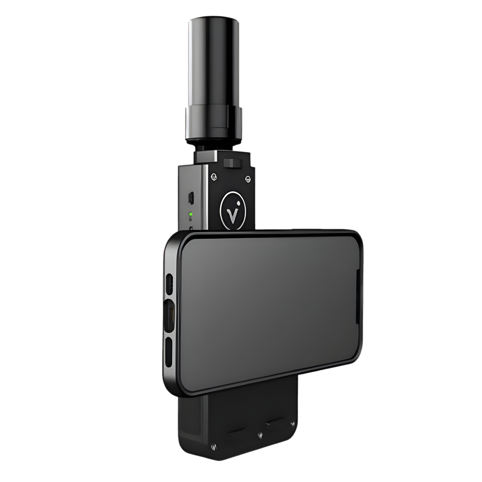
Watch how the viDoc’s integrated laser distance meter enables single point measurements from a distance. Aim the laser at any target—distant corners, overhead elements, or obstructed areas—trigger the shot, and combine the exact distance with RTK GNSS for centimeter-accurate 3D coordinates. Ideal when pole access is unsafe or impossible, this method reduces physical risk, speeds up data capture, and supports as-built checks, dimension verification, or control point collection. Results integrate seamlessly into photo/scan workflows, delivering reliable geospatial data in seconds without ladders or hazardous approaches.
See the power of measuring and documenting simultaneously with viDoc. While capturing a geo-referenced photo, select points via laser, photogrammetry, or pole—the system automatically embeds precise 3D coordinates into the image. This eliminates separate tagging and reduces errors, making it perfect for GIS asset mapping, BIM as-built comparison, defect reporting, or progress documentation. One handheld action creates spatially accurate records that support collaboration, quantity takeoffs, and compliance, turning ordinary site photos into valuable, coordinate-rich evidence.
Discover how attaching the viDoc to a rover pole with the adapter delivers top-tier precision. The fixed antenna-to-tip offset ensures consistent, repeatable RTK measurements down to centimeter level—ideal for ground control, stakeout, topography, or establishing points for drone surveys and 3D models. Unlike handheld methods, the pole eliminates tilt/centering variability, providing professional-grade stability and reliability. This mode complements laser and photogrammetry options, giving surveyors flexibility to choose the best tool for each task while maintaining familiar workflows and exceptional data quality.
viDoc Model 24 with Multi-Measurement Tool

Reach Out to the Experts

Ask for advice, a customised quote, or just to talk through your requirements.