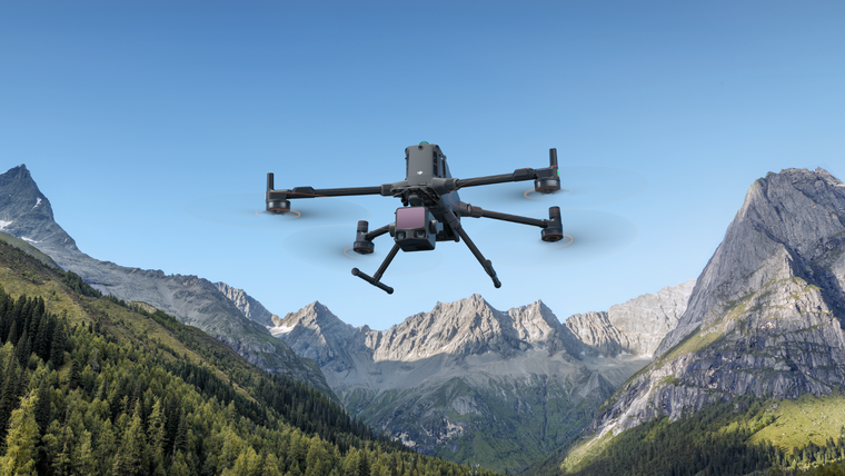
Subsurface sensing range
Survey below what cameras can see.
This range is built for survey work that stops at an optical camera's limit. It covers lidar systems for dense, georeferenced point clouds at survey-grade accuracy, and ground-penetrating radar at multiple frequencies for subsurface detection of voids, buried services and structural anomalies — no trenching or surface access required.
Specialist sensor supportIntegration & workflow advice
Talk to a surveyor who's run these systems in Australian conditions — we'll match the right sensor to your stratum, target depth and airframe before you commit to a $30k purchase.
Explore the DJI Zenmuse L3
Real survey and site investigation workflows — pick the application closest to your project.
Mission-ready kits
Pre-specified kits for this aircraft, configured, tested and supported from Melbourne. Pick a mission, then request a quote.
Air quality, gas and emissions mapped across a site or plume, geo-tagged from altitude.

LiDAR Mapping Kit
- Matrice 400 aircraft (RC Plus 2, case)
- Zenmuse P1 45MP full-frame camera
- D-RTK 3 base + survey pole
- 2x TB100 batteries + BS100 station
- 2TB SSD + 2x 256GB cards
Payloads, Accessories, & Spares
5 products
Radar Systems Zond Aero LF GPR
Radar Systems Zond Aero 500 GPR
Radar Systems Zond Aero 1000 GPR
M350 HN-RTC200 Through-wall Radar
Sensys MagDrone R3
Not sure which kit you need?
Tell us the job. survey, inspection, mapping, or scanning and we'll spec the right platform, payload, and RTK setup. No guesswork.