Skip to content
Call 1800 240 410
  • Ground
    • C1 Series
    • C10 Series
    • FJD GNSS
  • Aerial
    • Matrice 4
    • Matrice 400
    • Sensors
    • Remote Operations
  • Software
    • MapShare
    • Thermalmapper
    • Landmapper
  • Services & Resources
    • Resources
      • Ground Truth blog
      • Sample scans
      • GSD calculator
      • SLAM scanning ROI calculator
      • FlyCart 100 calculator
    • Services
      • Custom AI Models
  • Industries
  • Contact
MIRRORMAPPER
  • Ground
    • C1 Series C1 SeriesWalk interiors
    • C10 Series C10 SeriesWalk large sites
    • FJD GNSS FJD GNSSPoint and measure
  • Aerial
    • Matrice 4 Matrice 4Mapping
    • Matrice 400 Matrice 400Enterprise flagship
    • Sensors SensorsLiDAR, thermal, cameras
    • Remote Operations Remote OperationsFly without driving
  • Software
    • MapShare MapShareSend a link, not a ZIP
    • Thermalmapper ThermalmapperThermal reports
    • Landmapper LandmapperScheduled dock capture
  • Services & Resources
    • Resources
      • Ground Truth blog
      • Sample scans
      • GSD calculator
      • SLAM scanning ROI calculator
      • FlyCart 100 calculator
    • Services
      • Custom AI Models
  • Industries
  • Contact
  • Your cart is empty

    Have an account? Log in to check out faster.

    Most people start here:

    • Handheld scanners From $6,199
    • Aerial From $9,499
    • Payloads LiDAR, thermal and more

    Book a demo · Get a quote

    1800 240 410

    Ground Truth

    Independent, field-tested guidance on drone & handheld mapping for Australian teams — platform selection, accuracy, compliance and data workflows.
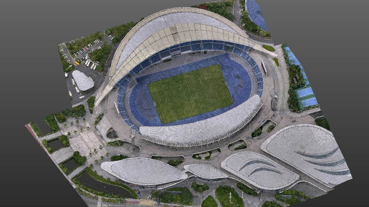
    Aerial LiDAR of a stadium and grounds. The shell a drone pass can seeBest Practices

    Ground Truth

    Sep 03, 2026

    One site, two platforms, one point cloud: how to merge drone LiDAR with a handheld scan

    Every site has parts the drone cannot see. Field and processing workflow to merge...

    Read article

    Night overhead of an active construction pad. The measured site a drone model can overlay on the design BIMBest Practices

    Ground Truth

    Aug 29, 2026

    A drone model is not a BIM. It is the measured site you overlay on the one you drew.

    Tenders say digital twin and mean a current, georeferenced 3D you can fly again....

    Read article
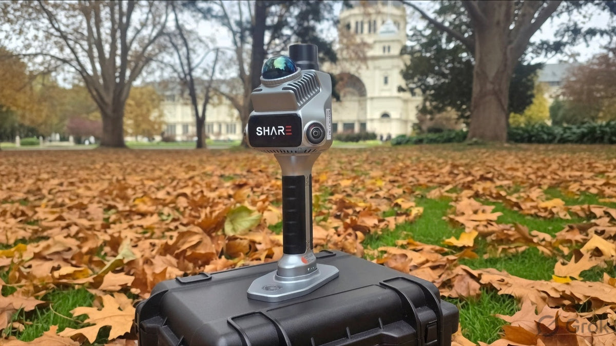
    How SLAM mapping works: LiDAR, walk-through scanning and RTK

    Ground Truth

    Jun 19, 2026

    How SLAM mapping works: LiDAR, walk-through scanning and RTK

    Laser time of flight, fused LiDAR and visual SLAM, and AUSCORS RTK explained on...

    Read article
    DJI Terra reconstruction of a point cloud used for a repeated mapping outputComparison

    Ground Truth

    Feb 06, 2026

    Terra builds the model. Modify cleans the mesh. Repeated surveys live or die on the coordinate system.

    Terra turns a flight into a measurable file. Modify repairs a mesh you already...

    Read article

    No articles match. Try another type or a shorter search.

    Mirrormapper

    Melbourne-based drone, LiDAR and SLAM specialists. Local setup, training and repairs.

    • 1800 240 410
    • info@mirrormapper.com.au
    • Southbank, Victoria
    • ABN 95 687 916 285
    Explore
    • Sensors
    • Remote Operations
    • Resources
    • Services
    Industries
    • Mining & quarry
    • Stockpile and volumes
    • Solar utilities
    • Powerline & network
    Buying
    • Purchase orders
    • Finance & leasing
    • Book a demo
    • Warranty & returns
    Company
    • Ground Truth blog
    • Our software
    • Services
    • About Us

    Authorised Australian dealer & partner

    FJDynamics
    Setup & training included Local repairs 12-month ACL warranty
    © 2026 MirrormapperTermsPrivacyShipping

    Search

    esc

    Start with a category, or call.

    • See the range
    • Handheld scanners

    1800 240 410

    Get a quote

    Pricing, lead time, and what is in the kit. Usually one business day.

    Enquiry Mirrormapper

    Book a time

    Or call 1800 240 410 .