Two technologies, one site visit, completely different jobs
Gaussian splatting is appearing in surveying conversations fast enough that it deserves a plain-language explanation, not a graphics-research paper. Here is what it actually is, what accuracy it genuinely delivers, where it falls short, and why the most productive aerial-ground workflow in 2025 uses both a Matrice 4 and a SHARE S20 on the same site visit.
What a point cloud is (the baseline)
A point cloud is a set of discrete XYZ measurements. Each point has a coordinate. LiDAR-derived point clouds from a Zenmuse L3 or a SHARE S20 carry real geometric precision: relative accuracy within a few centimetres on a clean traverse, and absolute accuracy tied to AUSCORS NTRIP or ground control. Engineers measure from them. Volumes get calculated. As-builts get drawn. The data holds up in a compliance document because each point is a measurement, not a representation.
What a Gaussian splat is
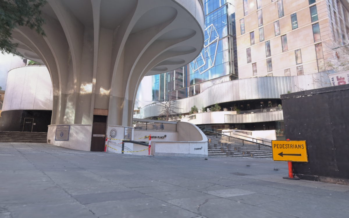
A Gaussian splat is a different kind of 3D reconstruction entirely. Instead of discrete XYZ points, the scene is represented as millions of small, semi-transparent, elliptical blobs, each with a position, shape, opacity and colour encoded as spherical harmonics. The scene is learned by an optimisation process trained on a set of photographs taken from multiple angles. The result looks, from any viewing angle, almost indistinguishable from a photograph of the real thing.
That is not a small claim. Photogrammetry produces meshes that look like 3D models. Gaussian splats produce something that looks like you are standing inside the real space. The visual fidelity for presentation, walkthrough and design review is genuinely different in kind from a textured mesh or a colourised point cloud viewed in a browser.
The accuracy reality: where each one lives
Here is the number that matters before you use either for the wrong job. Gaussian splats, in current real-world workflows on surveying-scale sites, carry a geometric error in the order of 7.82 cm. That figure comes from published benchmark testing on outdoor scenes. It reflects the fact that splat optimisation is designed to minimise visual error, not geometric error. The two are not the same thing.
LiDAR from a Zenmuse L2 on a Matrice 4D, or from an S20 RTK with an AUSCORS NTRIP fix, operates at a different order of magnitude. Relative accuracy within the point cloud runs to a few centimetres on a clean traverse. Absolute accuracy, checked against ground control, can be held to survey-grade tolerances on most site types.
The conclusion is not that splats are inaccurate and therefore useless. It is that they solve a completely different problem. A splat at 7.82 cm geometric error is not suitable for a cadastral boundary or a volume calculation. It is entirely suitable for a client walkthrough, a design review overlay, a heritage documentation tour, or a planning submission that needs a decision-maker to understand spatial context without reading a drawing.
The aerial-ground fusion workflow: Matrice 4 + SHARE S20 + DJI Terra
The workflow that makes both useful on a single site visit looks like this:
- The Matrice 4 flies the site with the mapping payload. DJI Terra v5 processes the imagery into an orthophoto, a dense point cloud and, with the Gaussian splatting output enabled, a splat scene from the same image set.
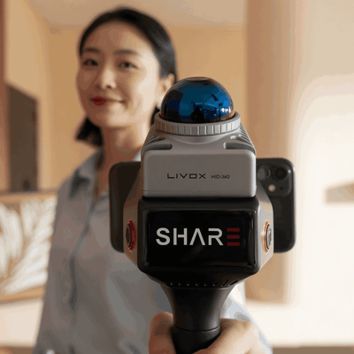
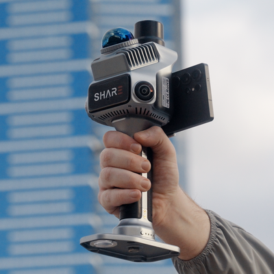
- The SHARE S20 RTK walks the interiors, stairwells, undercover stockpiles or any area the aircraft cannot reach. It produces a LiDAR point cloud fixed to real-world coordinates via AUSCORS NTRIP, with relative accuracy the aerial pass cannot match for complex geometry at close range.
- The two datasets merge in post. The LiDAR cloud handles measurement and compliance. The splat handles presentation and spatial communication.
One site visit. One mobilisation cost. Two output types that answer two different client questions: the engineer's "how tall is that retaining wall" and the project manager's "show me what this will look like at handover."
DJI Terra v5 introduced native Gaussian splatting output, which means the aerial imagery captured during a standard mapping mission can produce a splat scene without a separate capture run or a separate software licence. That is the workflow change that makes this practically useful rather than theoretically interesting.
Who uses which output for what
Point clouds and splat scenes answer different questions for different people in the same project team.
- Engineers and surveyors measure from the LiDAR point cloud. Volumes, as-builts, cross-sections, compliance checks. The splat is a communication layer, not a measurement layer.
- Architects and designers use the splat for design review. Walking a client through a splat of an existing building before overlaying a design proposal is materially faster than explaining a 2D plan.
- Project managers and clients understand a splat immediately, without training. A colourised point cloud viewed in a browser requires spatial literacy that not every stakeholder has.
- Heritage and cultural documentation teams use splats for public-facing archives and virtual access, where geometric precision matters less than visual fidelity.