RTK is not a badge on the spec sheet. It is a live correction stream. In Australia the stream we put on most kits is AUSCORS NTRIP, Geoscience Australia's no-charge caster. It puts a capable rover on national coordinates without occupying a base on every small site.
It does not turn a cheap GNSS chip into a cadastral instrument. Survey-grade here means centimetre-class absolute when you have a fix, a data link and a method that still checks the result. The network supplies corrections. You still run the job.
What AUSCORS NTRIP is
AUSCORS is the NTRIP service in front of Australia's Continuously Operating Reference Stations. Geoscience Australia collects observations from its own CORS (the Australian Regional GNSS Network and AuScope stations, plus partner sites) and streams RTCM corrections over the internet.
You register at the GNSS Data Centre, connect the rover or remote controller as Custom Network RTK, and pick a mount that is online and close to the site. The rover combines those corrections with its own observations and, with enough satellites and a clean sky, holds a fixed solution.
Two practical constraints sit under every brochure claim:
- No data link, no stream. Hotspot, SIM in the controller, or another path. Remote jobs without coverage need a local base, a different network, or a later method. AUSCORS does not beam through a shed.
-
Nearest online mount, not a random favourite. Names look like
AAAA00AUS0(Alice Springs isALIC00AUS0). The first four letters change; the00AUS0tail stays. Distance to that station is the baseline. Stations drop out. Check the network map before you treat yesterday's profile as gospel.
AUSCORS is the caster we configure unless you already run a state network or your own base and want that kept. Name it AUSCORS NTRIP. Do not call it "an NTRIP service" and hope the reader knows which one.
What it is not
Ground control points stay useful. Independent checks, long traverses, legal boundaries and any deliverable you have to defend still want control. RTK expands the jobs you can finish without planting a field of targets. It does not retire survey craft.
A float solution is not a fix you process later. If the aircraft or scanner is floating, stop and fix the link, the mount, or the sky. Do not file it as "close enough".
Indoors, satellites drop. SLAM carries the trajectory. You still need an outdoor fix, a portal tie, or the positioning plate on known marks if the interior has to sit on the same datum as the roof.
On the aircraft
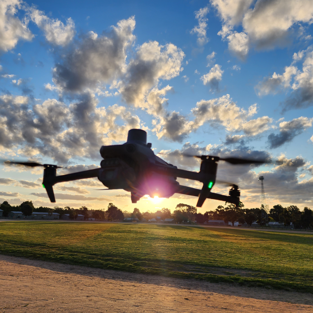
DJI Enterprise remotes take AUSCORS NTRIP as Custom Network RTK. Get a fix on the pad before you commit the line. Every photo or LiDAR return then carries that solution.
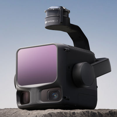
Zenmuse L3 on Matrice 400 is the loadout we quote when the exterior is LiDAR. Trajectory quality is only as good as the fix during the flight. Corridor work punishes a float: lateral drift adds up, and the cloud looks "almost right" until you overlay a kerb you trust.
Photogrammetry on Matrice 4-class aircraft is the same rule, smaller payload. AUSCORS is the correction source. GCPs remain the check when the spec asks for them.
Host, port, mount names and the distance trap sit in the FAQ accordion below. That is the field tutorial. We still load the profile on handover so you are not guessing on the first job.
On the handheld
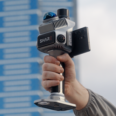
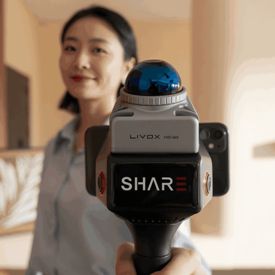
SHARE C1 Pro has the RTK module in the unit. Connect AUSCORS NTRIP, get a fix outdoors, walk. Indoor, fused LiDAR and visual SLAM carries the path. Relative accuracy under 1 cm on a clean walk. Absolute under 5 cm with RTK. Positioning while fixed: 0.8 cm + 1 ppm horizontal, 1.5 cm + 1 ppm vertical. Those numbers measure different things. If a client is checking a survey spec, use the absolute figure and validate.
SHARE C1 is the indoor and GPS-denied unit. Use it when the day's work never leaves cover and you already trust your control method. Do not buy C1 Pro only because the box says RTK if you will never go outside.
The two-dataset job (drone roof, handheld plant and under canopy) is the whole point of one correction source. Method: Drone mapping plus handheld SLAM.
What we configure on handover
Caster, mount, credentials and the coordinate system you actually deliver in. We walk the connection on your hardware so you can tell a fix from a float, and so you know what to check when the stream drops. Support is the same engineers who did that handover.
If the kit is already in the van and still running uncorrected GNSS, bring it in. We would rather fix the profile than watch another job sit a metre off the design.
Book a demo. We will put C1 Pro on AUSCORS NTRIP on a site you already know.
FAQ
How do I get an AUSCORS account?
Register at the Geoscience Australia GNSS Data Centre. Confirm the email, then keep that username and password for the rover. The stream is no-charge. You still pay for the mobile data that carries it. Do not reuse a colleague's login on a public page or in a screenshot.
What caster details do I enter?
On most DJI remotes and the SHARE Capture App:
- Host
ntrip.data.gnss.ga.gov.au - Port
2101(unencrypted NTRIP, the endpoint those clients actually take) - Your GA username and password
- A mount point from the downloaded station list, not a name you typed from memory last year
TLS on port 443 exists for clients that support it. If the remote only offers host, port and mount, use 2101. Geoscience Australia does not publish a "nearest" auto mount. You pick the station.
How are mount points named?
They look like AAAA00AUS0. The first four letters are the station. Alice Springs is ALIC00AUS0. The rest of the string stays 00AUS0 on Australian CORS streams.
When the remote dumps a long table, scan for names ending AUS0. Ignore product or experiment streams unless you know you need them. Those do not look like a four-letter site code plus 00AUS0.
How do I pick a mount point?
- Open the GNSS Data Centre network map and find stations near the job.
- Prefer a station that is online today, not the one that worked in another state last month.
- On the device, download the caster table and match that four-letter code.
- If two stations are close, pick the nearer one with a green or "online" status.
Save a profile per region if you travel. Do not fly Brisbane on a Perth mount because the profile was still loaded.
What happens if I connect to a mount further away?
The baseline (rover to reference) gets longer. RTK error grows with distance. That is the + 1 ppm term on the C1 Pro spec: roughly a millimetre extra per kilometre of baseline, on top of the centimetre-class floor, when you actually have a fix. Far mounts also take longer to fix and sit on float more often.
A station 30 km away can still be usable if nothing closer is up. A station 800 km away is the wrong stream. If the nearest is red on the map, step to the next nearest online AUS0 name. Do not keep yesterday's favourite.
How do I set it up on a DJI drone?
Power the aircraft and remote. Give the remote a data path (SIM, hotspot or controller Wi-Fi). Open RTK settings and choose Custom Network RTK. Enter the host, port, account and password, then download the mount list. Select the nearest online Australian station. Wait for a fixed solution on the pad before you start the line. If it stays float, change mount, check sky and check the data link before you fly.
How do I set it up on SHARE C1 Pro?
Same caster, same account. The scanner needs a data path through the phone or tablet running SHARE Capture. Create an NTRIP / AUSCORS profile, download mounts, pick the nearest live station, get a fix outdoors, then walk. Indoors the RTK stream will drop. That is expected. SLAM carries the interior. Tie back to the outdoor fix or to the positioning plate if the brief is absolute.
C1 without the RTK module does not take AUSCORS in the handle. Occupy control yourself, or step up to C1 Pro.
Do I still need ground control if I have AUSCORS?
Often fewer targets on mixed outdoor work. Not never. Use check shots where the brief, the traverse length or the legal status of the deliverable requires them.
What if the site has no mobile coverage?
AUSCORS will not help until you have a data path. Use a local base, a different network you already trust, or plan the job as relative capture plus later control. Say that before you quote centimetre absolute.
C1 or C1 Pro for AUSCORS?
C1 Pro if the walk has to join a drone block or sit on real-world coordinates as you go. C1 if you work GPS-denied and occupy control yourself. We route that on the demo, not from the SKU name.