
Ground Truth
Independent, field-tested guidance on drone & handheld mapping for Australian teams — platform selection, accuracy, compliance and data workflows.
 Insights
Ground Truth
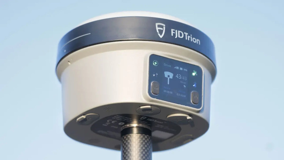
AUSCORS NTRIP: the correction network that makes your drone and handheld scanner survey-grade
AUSCORS NTRIP is Geoscience Australia's no-charge RTK stream. Account, caster, mount names like ALIC00AUS0,...
Read article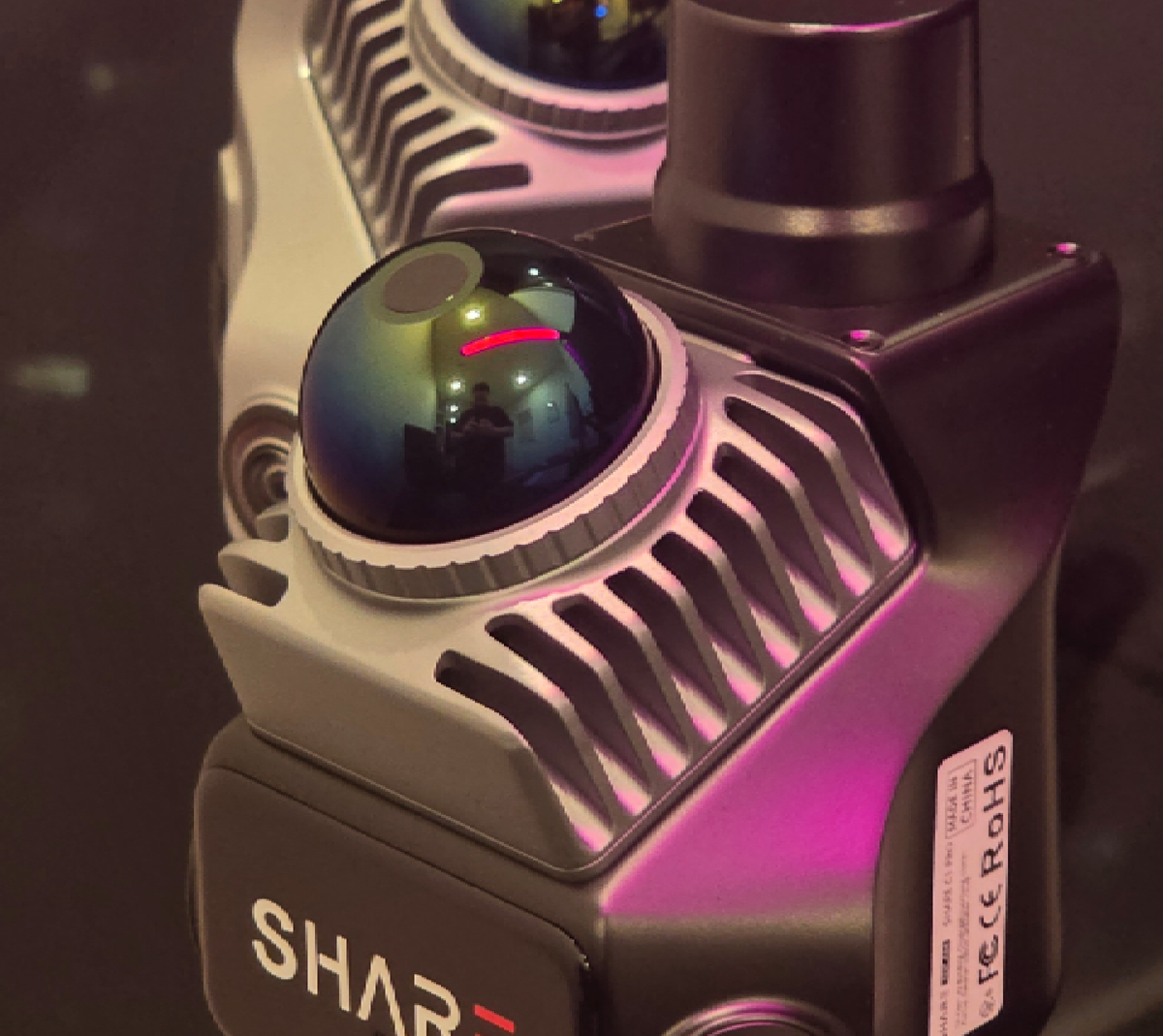
Ground Truth
SHARE C1 vs C1 Pro: which handheld LiDAR to buy
How to read SHARE's C1 and C1 Pro specs as a buyer. Indoor SLAM...
Read article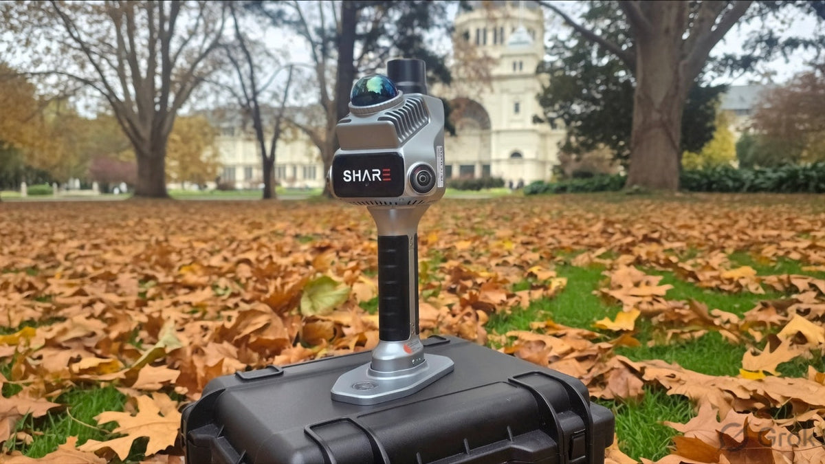
Ground Truth
How SLAM mapping works: LiDAR, walk-through scanning and RTK
Laser time of flight, fused LiDAR and visual SLAM, and AUSCORS RTK explained on...
Read article Comparison
Ground Truth
D-RTK 3 Relay versus the Multifunctional Station: which one actually holds the coordinates
Relay Fixed Deployment is a pad link. The Multifunctional Station is the portable base,...
Read articleNo articles match. Try another type or a shorter search.