

- Long-range LiDAR
- Dual 100 MP
- Canopy coverage

Sensors
Aerial LiDAR for corridors, mine faces and vegetation-covered sites. Stocked in Australia.
L3 for Matrice 400 survey density. S2 when the job is a drone-mounted scanner. C1 Pro for walk-in SLAM.


Zenmuse L3 on Matrice 400. Canopy, corridors, and wire plus ground. Returns in Terra.

FJD Trion S2 when the job is a scanner on the airframe. Mount in the kit.

SHARE C1 Pro for plant rooms, under-structure, and GPS-denied detail.
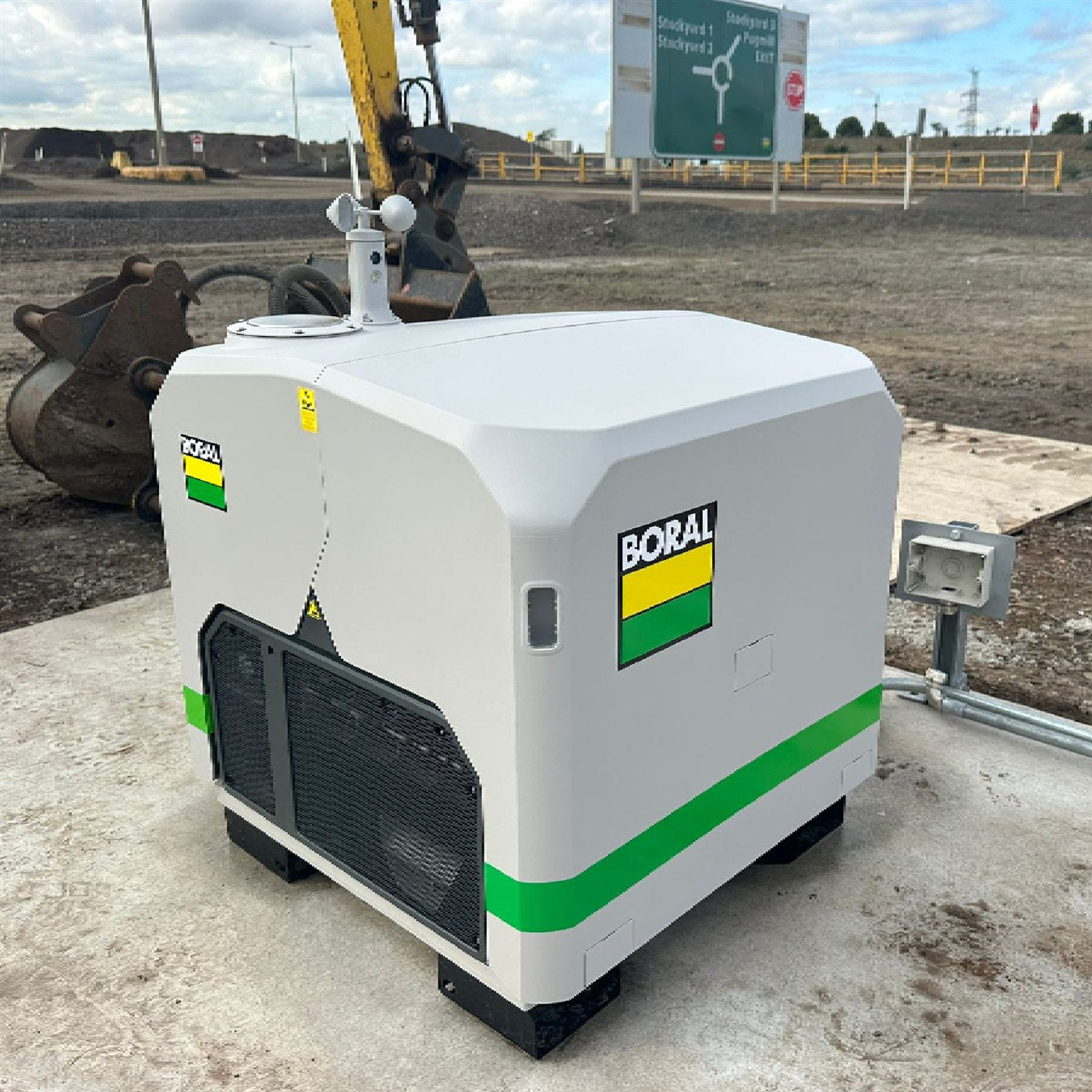
Pit to plant to decline. One coordinate system, two capture methods, a model your surveyors will sign.
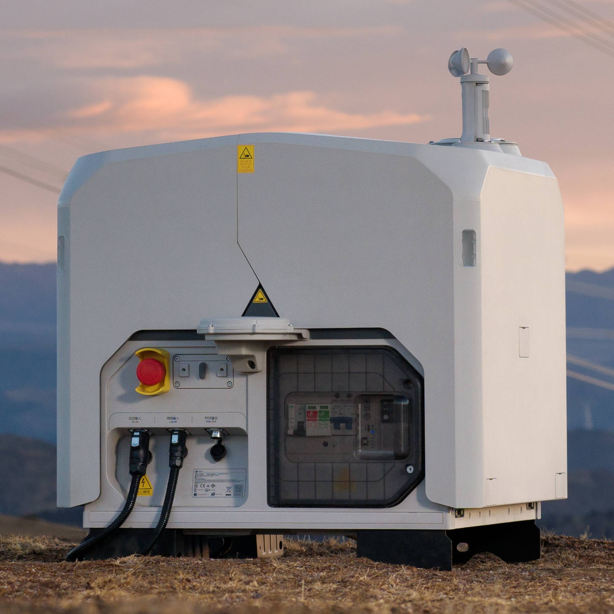
Corridor structure, vegetation and asset detail. Fly LiDAR and AI, add high-res SHARE inspection cameras, dock when the route repeats.
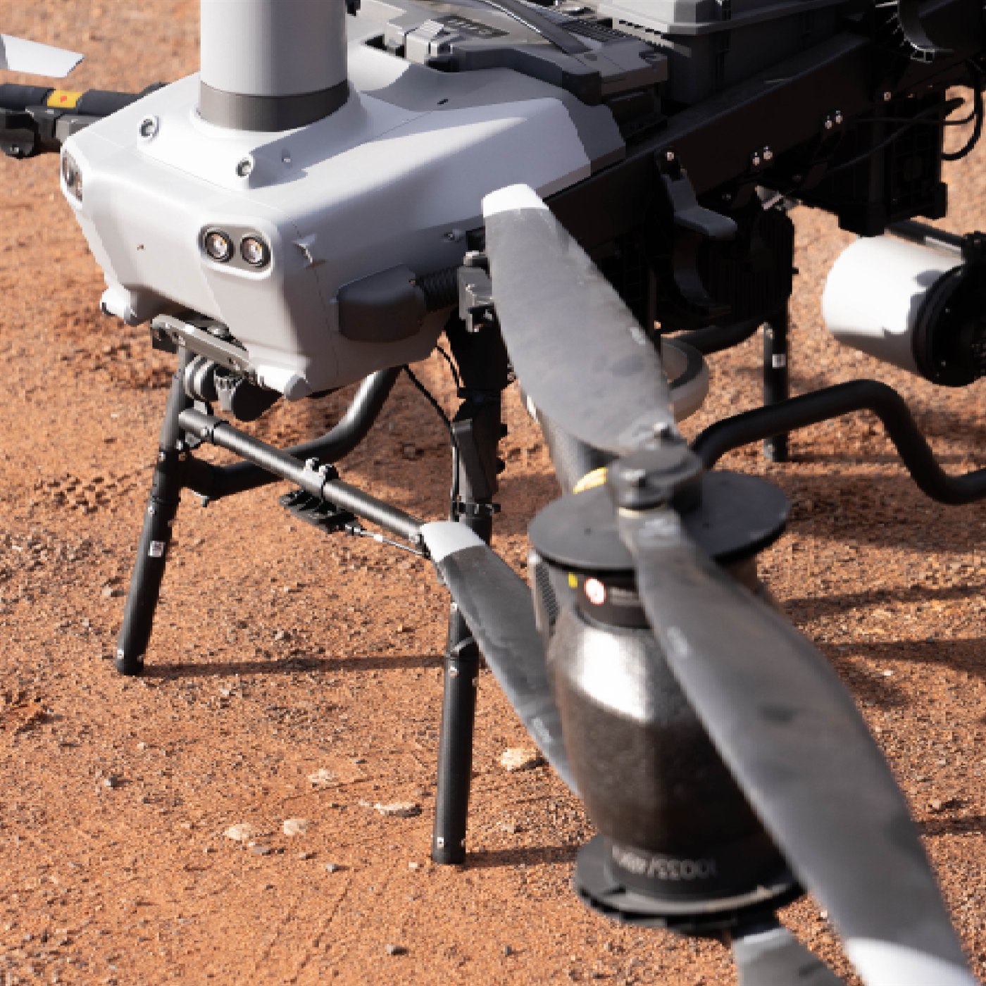
Open yards from the air, covered sheds on foot. Repeatable volumes you can put in a reconciliation.
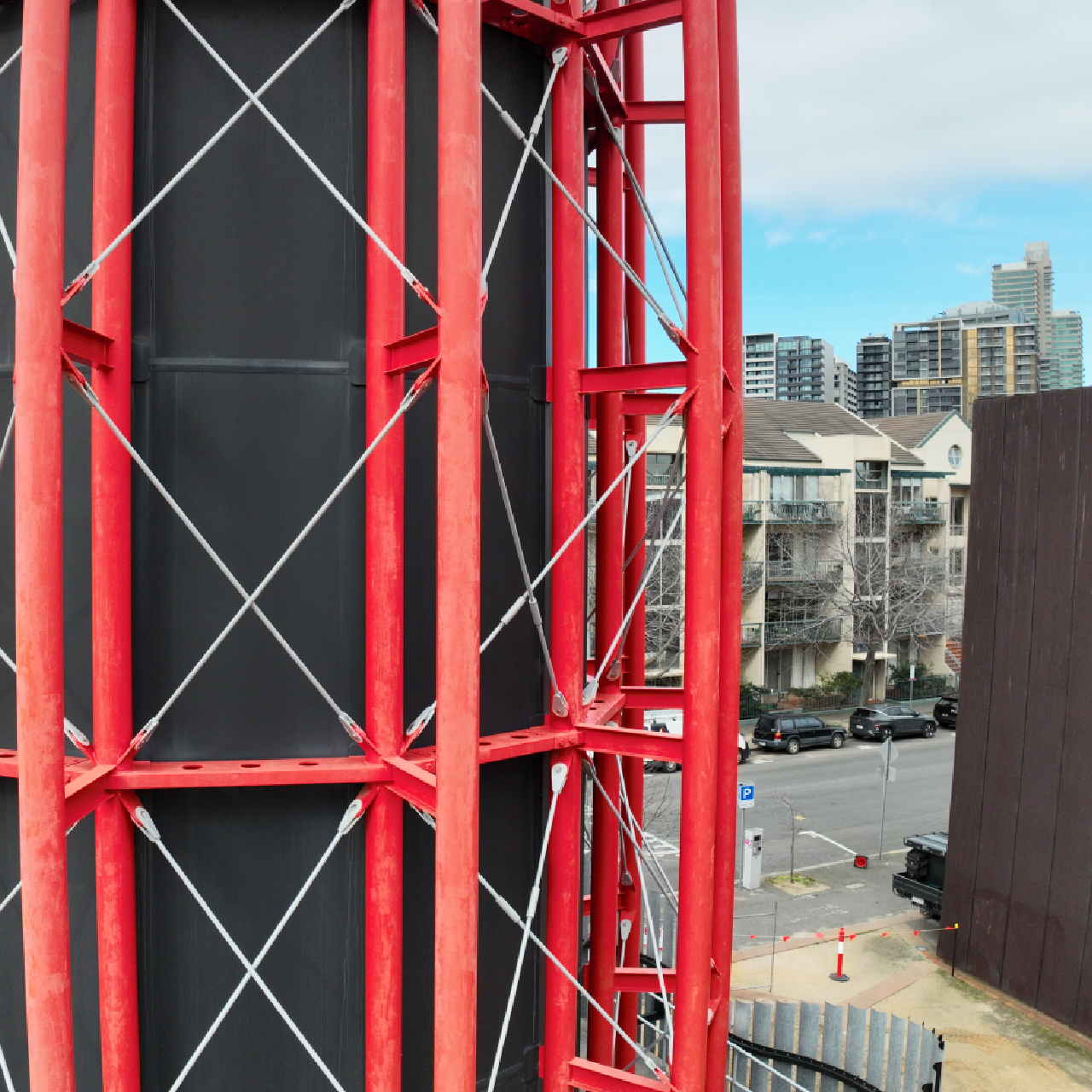
Capture what was actually built, not what was drawn. Interiors on foot, roofs and yards from the air, one registered model.
Compare
| Spec |
DJI
Zenmuse L3
|
FJDynamics
FJD Trion S2
|
SHARE 3DCAM
SHARE C1 Pro
|
|---|---|---|---|
| Role | Aerial survey LiDAR | Drone-mounted scanner | Handheld SLAM |
| Sensing | Long-range multi-return + RGB | 16-channel colourised LiDAR | Walk-in point cloud |
| Platform | Matrice 400 | Confirm airframe | Handheld |
| Typical jobs | Corridors, canopy, wire + ground | Sites that need a scanner in the air | Interiors, GPS-denied detail |
| From | $21,890 | Quote | $7,999 |
| Fitment family | Matrice 400 (E1) | FJD drone mount | Walk-in programme |
Outcome
Orthos, point clouds, thermal reports, and BIM-ready exports — tell us what you're producing and we'll wire the right capture and processing stack.
