

- Survey camera payload for Matrice 400 and Matrice 350
- High-detail orthos and meshes
- Pairs with RTK-equipped M400 / M350 workflows

Sensors
Full-frame and medium-format mapping cameras for orthos, meshes and textured surfaces. Stocked in Australia with Matrice fitment confirmed.
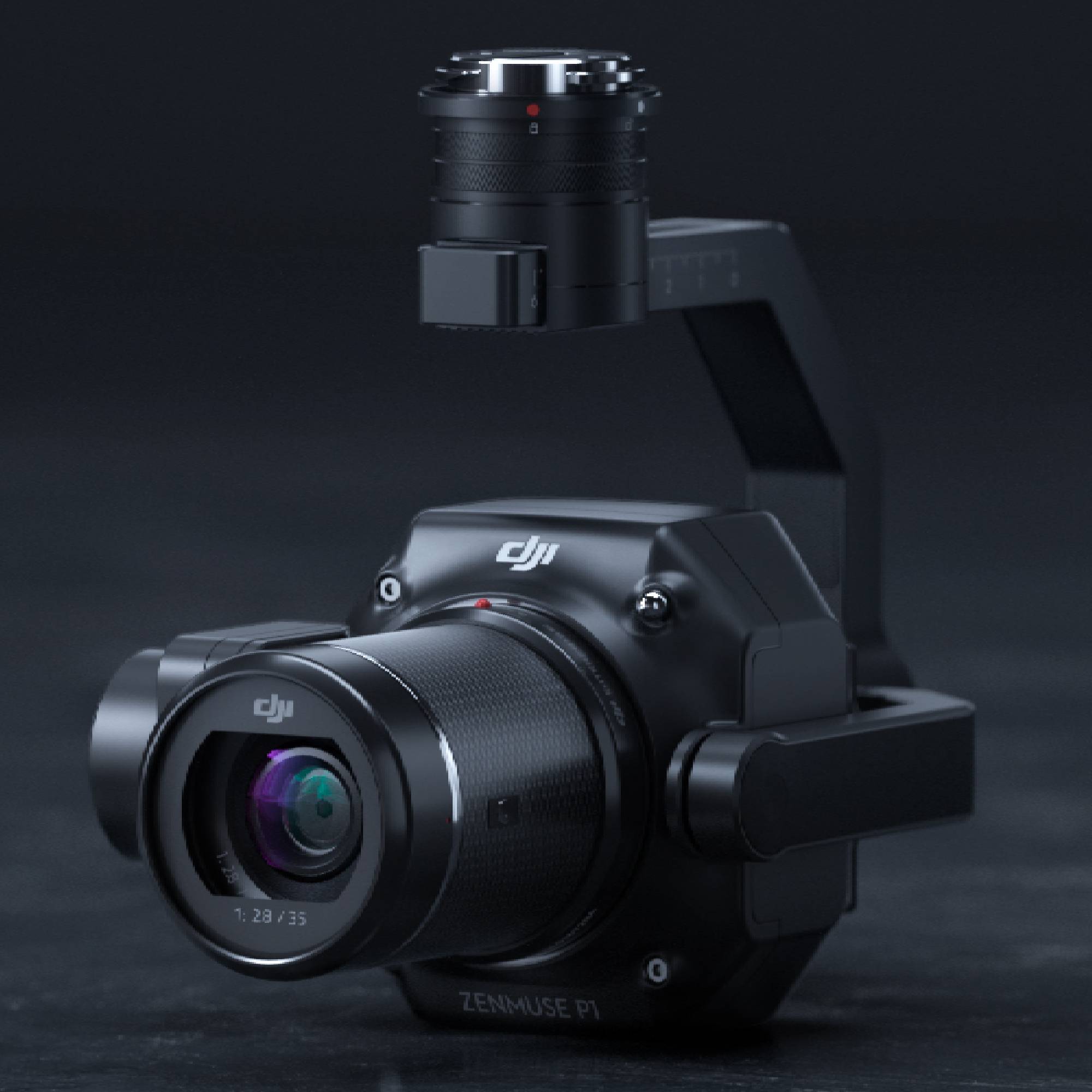
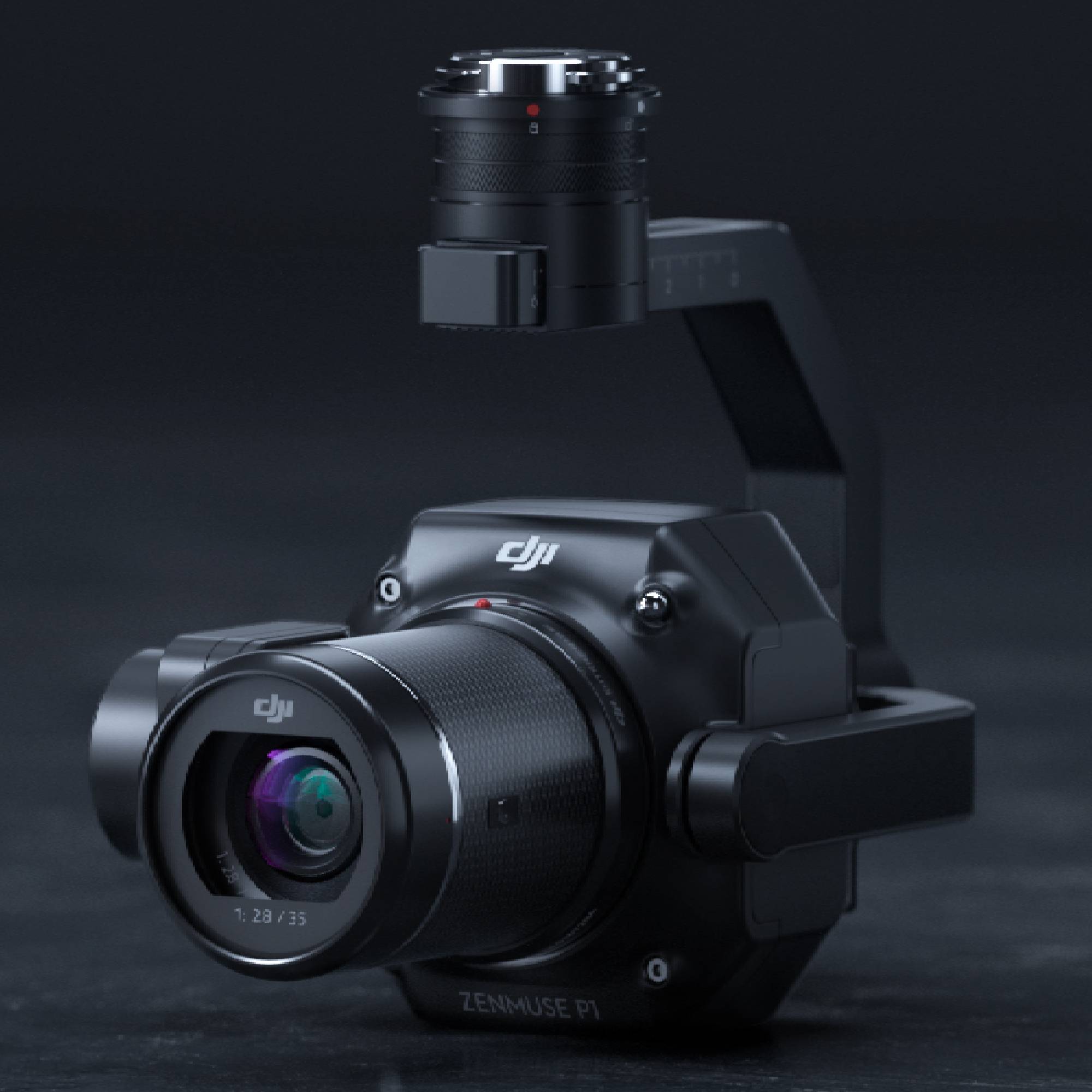
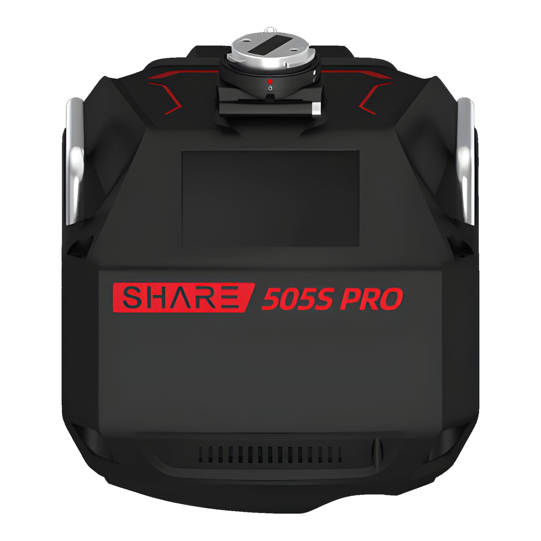
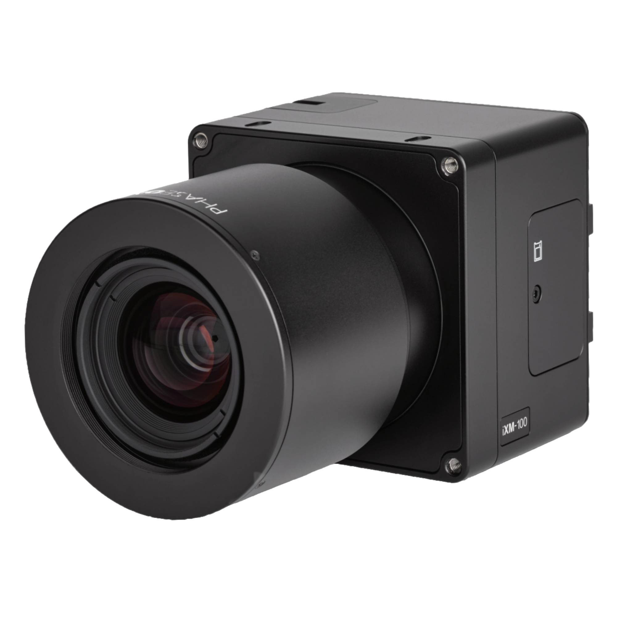
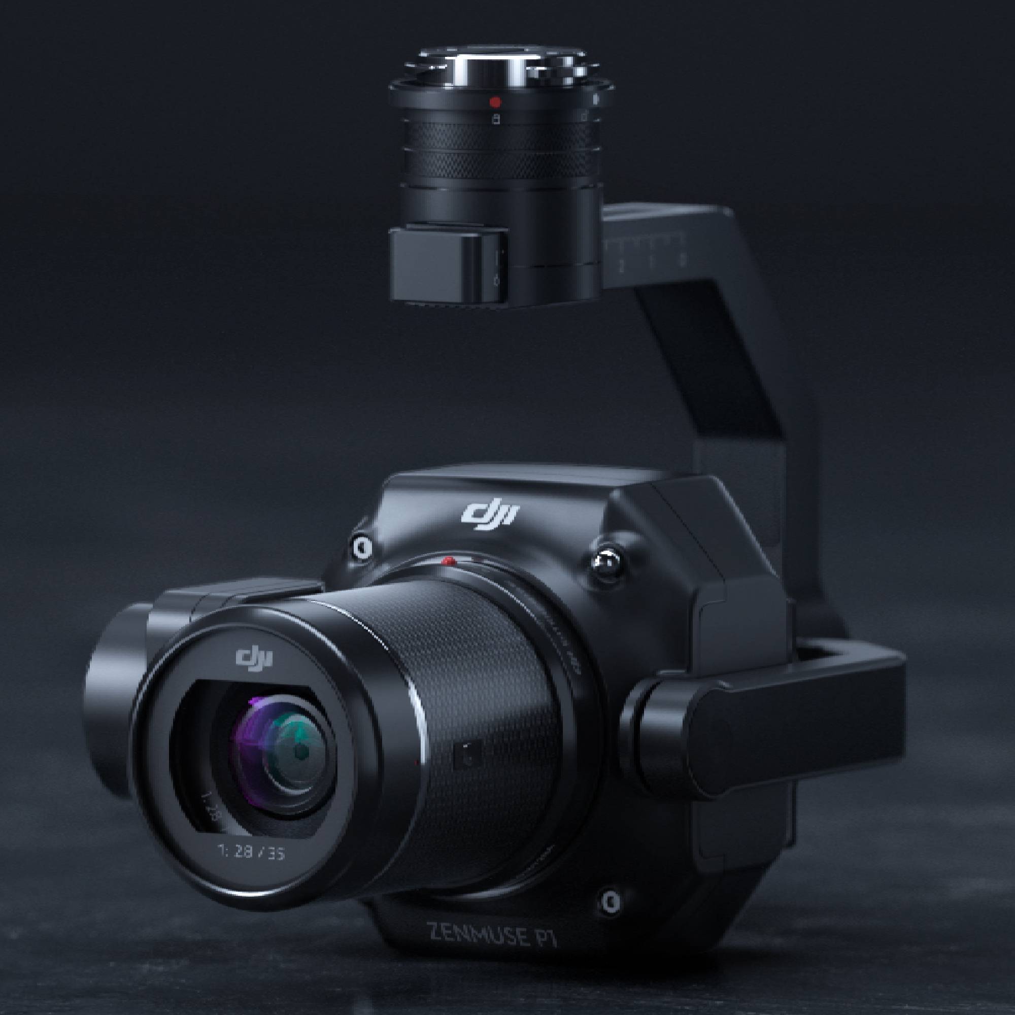
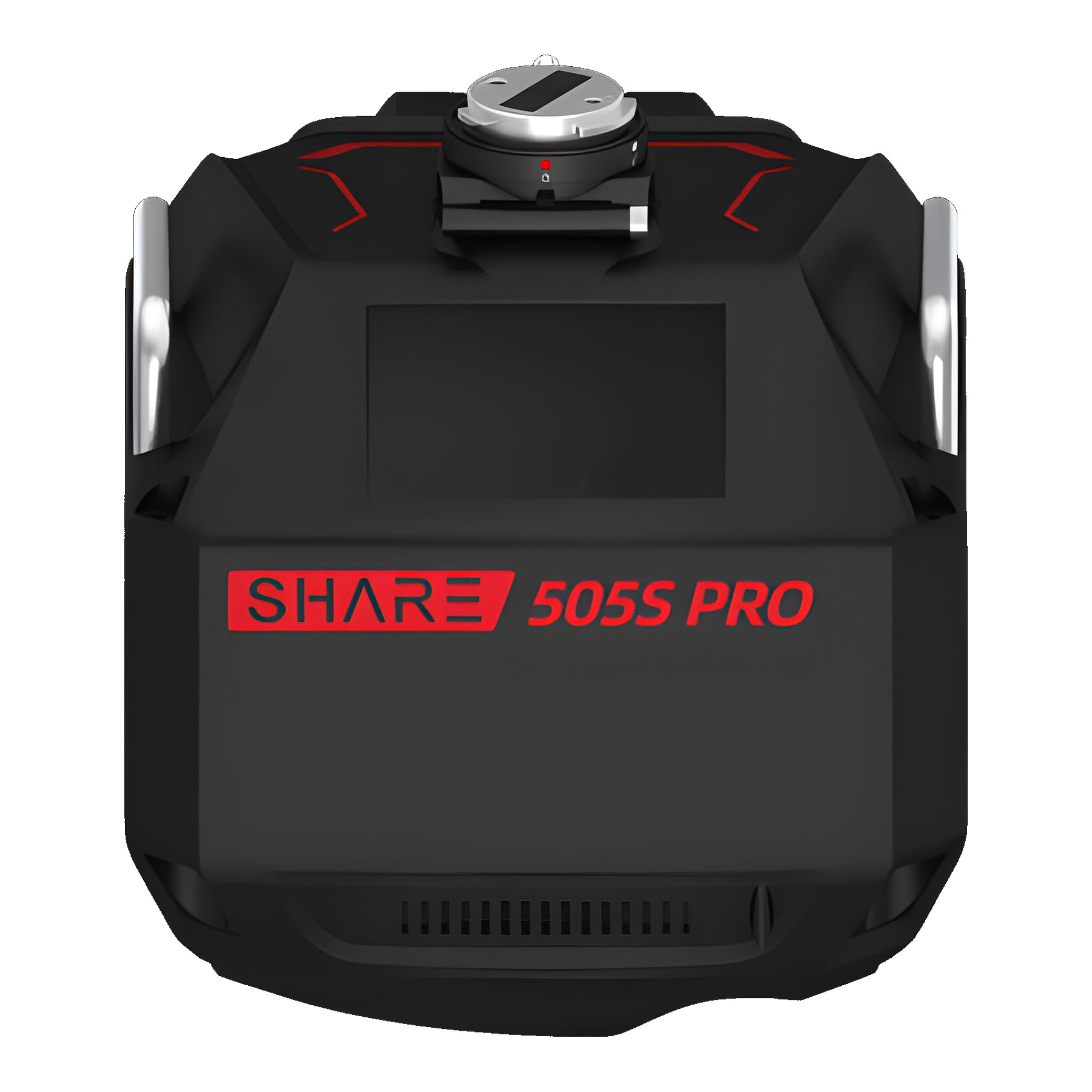
Zenmuse P1 for full-frame Matrice mapping. SHARE 505S when SHARE medium-format is the seat you already run. Phase One iXM when the brief needs that sensor class.

Methods
Open a topic. Method tables use the same chrome as the model compare.
A mapping camera captures overlapping colour frames that software turns into orthomosaics, meshes and dense point clouds. It is the right tool when the surface is visible from the air and you need colour texture with survey geometry.
Open pits, construction pads and urban roofs are the usual Australian jobs. It does not punch through canopy the way LiDAR does.
Ground sample distance is set by focal length, sensor size and flying height. Match GSD to the smallest feature you must measure, then plan overlap for the processing seat you already run.
We load Pilot 2 templates against the deliverable you invoice so crews are not guessing mid-mission.
Mechanical shutters reduce rolling-shutter stretch on fast corridors. Global or leaf shutters matter when the tender asks for survey-grade stills at speed.
Zenmuse P1 is the usual full-frame mechanical path on Matrice. Phase One iXM and SHARE medium-format seats cover programmes that already standardise on those sensors.
Photogrammetry wins when the surface is open and colour helps interpretation. Dense vegetation and thin wires leave holes imagery cannot fill honestly.
Use the LiDAR lane when the ground is hidden. Many Australian programmes fly both and merge products downstream.
Tick means it wins often. Dash means it can work with the right plan. Cross means it is usually the wrong tool.
| Use case | Photogrammetry | Aerial LiDAR | Inspection zoom |
|---|---|---|---|
| Open-sky ortho / mesh | |||
| Terrain under canopy | |||
| Textured client review | |||
| Bolt / bushing ID | |||
| Stockpile colour volumes |
Most Australian survey teams process in a photogrammetry suite they already licence. We confirm export formats against your CAD or GIS stack at handover.
Same engineers stay on support after commissioning so the first paid mapping job is not a guess.

Capture what was actually built, not what was drawn. Interiors on foot, roofs and yards from the air, one registered model.

Pit to plant to decline. One coordinate system, two capture methods, a model your surveyors will sign.

Open yards from the air, covered sheds on foot. Repeatable volumes you can put in a reconciliation.

A permanent record of the fabric as it stands. Walk the interior, fly the roof.
Compare
| Spec |
| ||
|---|---|---|---|
| Role | Full-frame mapping | Medium-format mapping | Medium-format iXM |
| Sensing | 45 MP full-frame | SHARE 5-series | 100 MP class |
| Shutter path | Mechanical | Confirm lens kit | iXM leaf / global path |
| Typical jobs | Open-sky ortho / mesh | SHARE processing seats | Client-standard iXM briefs |
| From | $11,400 | Quote | Quote |
| Fitment family | Matrice 300 / 350 / 400 | Confirm on quote | P3 / Matrice path |
Outcome
Whether you're standing up your first drone program or adding LiDAR to the kit, tell us the deliverable and we'll map the hardware, RTK, and processing path.
