


DJI Zenmuse P1
The DJI Zenmuse P1 is a full-frame 45 MP photogrammetry camera with interchangeable fixed-focus lenses on a 3-axis stabilized gimbal, delivering GCP-free accuracy for surveying up to 3 km² per flight. Weighing 800 g with IP4X protection and 20 W power consumption, it integrates with Matrice 300/350/400 RTK for efficient 3D mapping and reconstruction.
Dual 100MP RGB Mapping Camera System
Equipped with dual 100MP 4/3 CMOS RGB sensors and a mechanical shutter, Zenmuse L3 delivers significantly enhanced accuracy and efficiency. Pixel binning supports an effective 25MP resolution with larger pixel size, producing superior color reproduction even under poor lighting conditions.
 DJI Zenmuse L3
End-To-End Solution
Zenmuse L3 seamlessly integrates with DJI's ecosystem to deliver an end-to-end mapping solution. From data acquisition and processing to application, this unified workflow is simpler to operate and easier to master than traditional multi-platform setups, helping users efficiently complete a wide range of mapping tasks.
Ground Truth
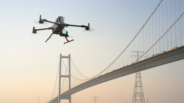
Is the DJI Matrice 400 Overkill for Your Operation?
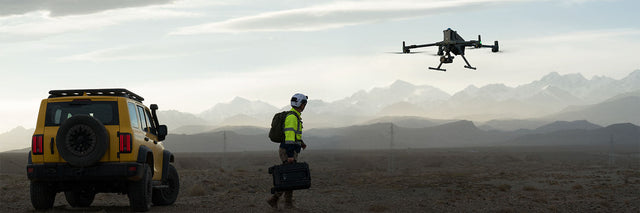
DJI Matrice 400 vs Heavy-Lift Alternatives - Capability vs Complexity
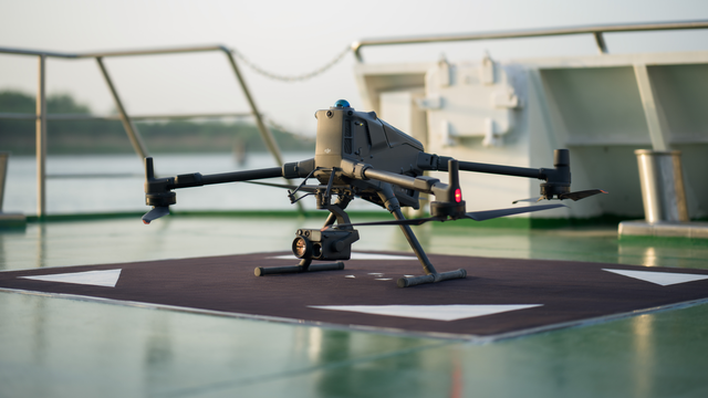
DJI Matrice 400 Overview - What It’s Designed For (And What It Isn’t)
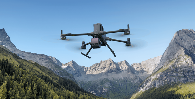
DJI Matrice 400 vs Matrice 350 RTK - Is It Worth The Upgrade?
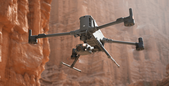
Zenmuse H30 vs Zenmuse H30T - What Is The Difference?
Reviews
What customers are saying
Real feedback from teams using this equipment in the field.
Be the first to share your experience
Teams like yours rely on real field feedback before they buy. A quick review helps the next operator choose with confidence.
Takes about 2 minutes · Verified by Judge.me

59 minutes up, 6 kg on board
Long-endurance heavy-lift for LiDAR, multi-sensor, and corridor work. Tell us the loadout and we'll build the flagship config.