


XGRIDS
XGRIDS Lixel K2
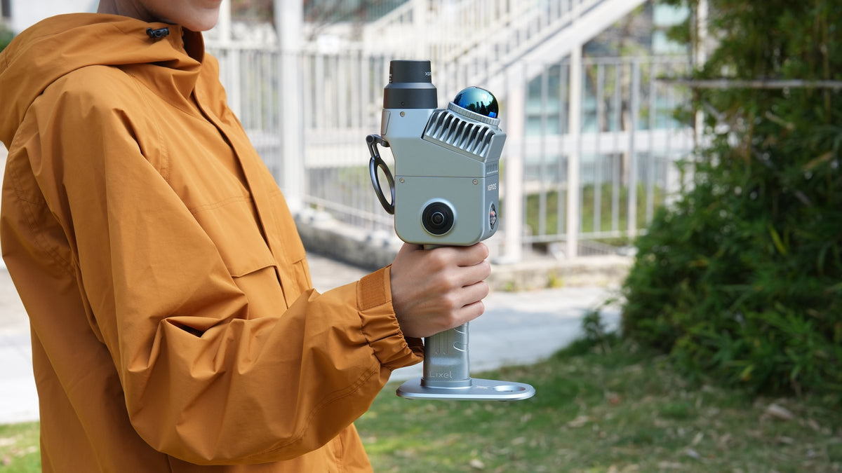
Light handheld LiDAR with built-in RTK and live colour.
- Built-in RTK
- Live colour cloud
- 1 cm relative
Pay with
-
Setup & training
included -
12-month
Australian warranty -
Express shipping
Australia-wide
1 cm
Measure the as-built on site
Relative accuracy of 1 cm within 10 m, and a cloud as thin as 5 mm after enhancement. Walls, openings and clearances measure straight off the scan in LixelGO.
Real time
Check coverage as you scan
The cloud is coloured live on your phone, with people and vehicles removed as you go, so a missed corner gets rescanned before you leave site.
3 cm
RTK built into the scanner
The UM980 GNSS module puts the scan on coordinates with an RTK fix, at 3 cm RMSE under open sky, and PPK covers sites without a network. Indoors, SLAM carries the scan through.
1.5 h
Car parks and plant rooms
SLAM holds the scan through car parks, service corridors and plant rooms with no sky overhead, and each battery runs 1.5 hours.
One capture, three deliverables
A point cloud for drafting, a mesh for modelling and a 3D Gaussian Splatting scene for clients, all from the same pass through LixelStudio and Lixel CyberColor.
2 or 3 m
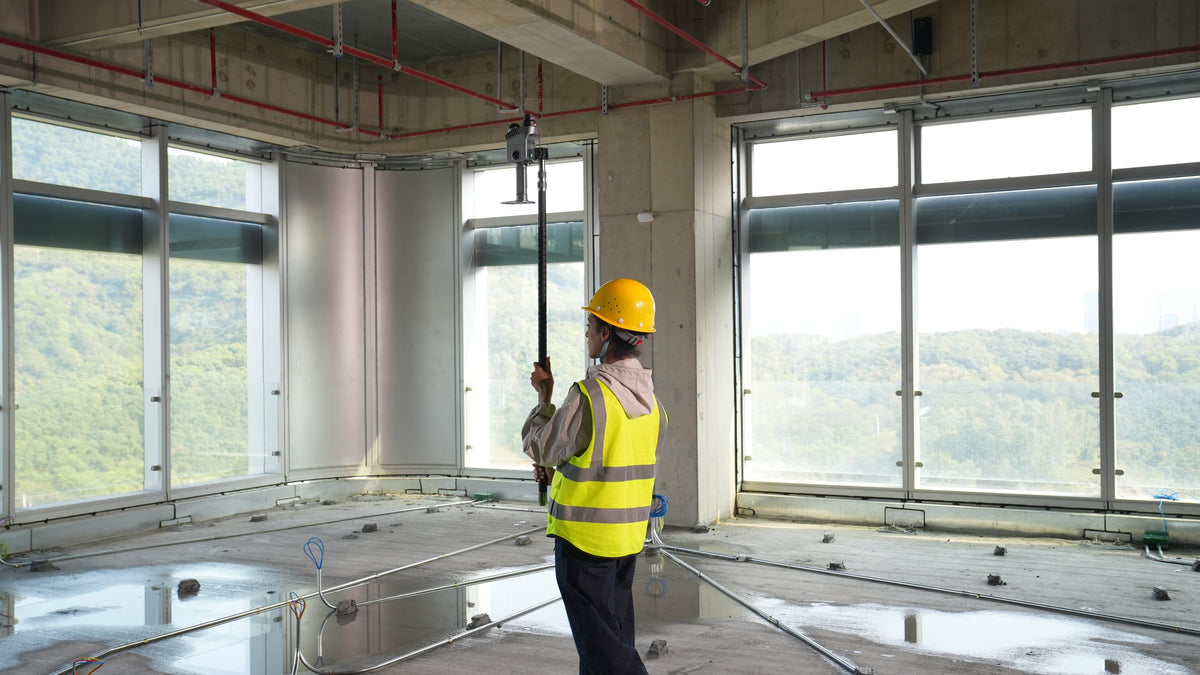
Ceilings and voids from the floor
The optional extension pole lifts the K2 to ceilings, risers and plant above head height on fit-outs and refurbishments.
Everything that ships with the kit you select.

Lixel K2 scanner
 2×
Charger and converter

Phone mount module

Suitcase

Protective cover
USB-C cable

Device-to-phone cable
30×
Reflective targets
Polishing cloth
| LiDAR sensor | Livox Mid-360, Class 1, 905 nm |
|---|---|
| Range | 40 m at 10% / 100 m at 80% reflectivity |
| Points per second | 200,000 |
| Relative accuracy | 1 cm RMSE (within 10 m) |
| Absolute accuracy | 3 cm RMSE (RTK, open sky) |
| RTK | Built-in UM980, RTK and PPK |
| Cameras | 3: 2 panoramic fisheye (200° × 200°), 1 forward (100° × 85°) |
| Resolution | 4000 × 3000 per camera, 1/2-inch CMOS |
| Colour | Real-time colourised point cloud |
| Point cloud thickness | 1 cm post-processed; 5 mm with enhancement |
| Runtime | 1.5 h per battery |
| Battery | Clip-on, 1,900 mAh (K1 batteries compatible) |
| Storage | 512 GB built-in |
| Wi-Fi | 802.11a/b/g/n/ac, 2.4 and 5 GHz |
| Live coordinate systems | WGS84, CGCS2000 |
| Output formats | LAS, JPG, mesh, 3DGS (LCC) |
| Processing software | LixelGO, LixelStudio, Lixel CyberColor |
| Weight | About 1.2 kg with battery and base |
| IP Rating | IP54 |
| Operating temperature | -20 to 50 °C |
Choosing & buying
What changed from the Lixel K1?
RTK is now built in (K1 needed an add-on module) with PPK as well, a third forward camera joins the two fisheyes, storage is 512 GB on board, and the point cloud is coloured in real time. Range at 80% reflectivity goes from 70 m to 100 m. K1 batteries fit the K2.
Lixel K2 or Lixel L3?
K2 suits interiors, as-builts, real estate and measured surveys at 1 cm relative accuracy, and is light enough for all-day use. L3 is the survey instrument: 5 mm relative and 2 cm absolute accuracy, 120 m range and a denser cloud, at about 2.5 kg.
Accuracy & performance
How accurate is it on real sites?
XGRIDS quotes 1 cm RMSE relative accuracy within 10 m (lab), 2 cm repeatability, and 3 cm RMSE absolute accuracy with RTK under open sky. Indoors the RTK fix drops out and SLAM carries the scan, so tie long jobs to control with the GCP plate in the box.
Can the live point cloud use GDA2020?
Live georeferencing supports WGS84 and CGCS2000. For GDA2020 and MGA deliverables, the transform is done in processing or tied in with control points. We set up that workflow for your datum at handover.
Workflow & data
What software do we need?
LixelGO on your phone runs the scan and shows the live cloud. LixelStudio on a PC does levelling, enhancement, mesh and volumes, and Lixel CyberColor builds 3D Gaussian Splatting models. Licence terms depend on the package, and we confirm what is included on your quote.
Can we reach ceilings and high spaces?
Yes, with the optional extension pole kit in 2 m or 3 m. XGRIDS builds the K2 as a handheld scanner; for vehicle or drone capture, talk to us about the wider range.

Not sure which kit fits the job?
Tell us the site and the deliverable. We'll name the kit, the price and the lead time.
Open a real scan