


XGRIDS
XGRIDS Lixel L3
Survey-grade handheld LiDAR with built-in RTK.
- 5 mm relative
- Built-in survey RTK
- 4K HDR colour
Pay with
-
Setup & training
included -
12-month
Australian warranty -
Express shipping
Australia-wide
Packages
Ready-made XGRIDS Lixel L3 packages
Everything for the job in one box, at the retail price of the DJI or SHARE parts, with the extras added free.

5 mm
Survey accuracy from a handheld
XGRIDS checked seven L3 units against a total station: 5 mm relative accuracy post-processed at 1σ, and 1 cm in the live cloud on site.
2 cm
Control points from the pole
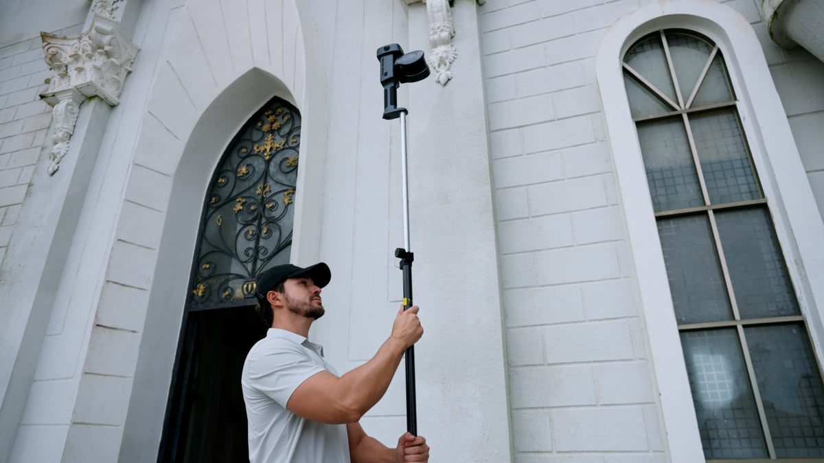
Survey-grade RTK is built in, for 2 cm absolute accuracy under open sky. Mount the L3 on a standard survey pole and record control points straight from the pole.
5 cm
Tunnels and urban canyons
XGRIDS quotes 5 cm absolute accuracy between tall buildings, and SLAM carries the scan through tunnels and under bridges where GNSS drops out.
4.3 in
The model on the scanner
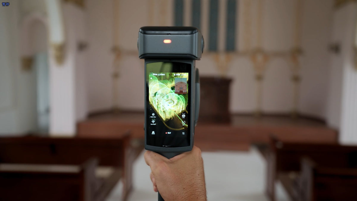
A 1,000-nit screen shows the cloud, scanning guidance and measurements, so the operator checks coverage on the device.
4K HDR
Photoreal from the same pass
1/1.3-inch cameras with DCG HDR colour the cloud and feed a mesh and a 3D Gaussian Splatting model from one capture.
Clean clouds from one pass
Loop closure runs in real time while you scan, and intelligent filtering clears noise and stray points from the cloud.
100 min
Built for long field days
Batteries swap in seconds, a charging hub comes in the box, and the optional support rig takes the weight off your arm.
Everything that ships with the kit you select.

Lixel L3 scanner
Base mount
Charging hub
Hard case with backpack system
| LiDAR | Class 1, 905 nm, about 360° × 270° field of view |
|---|---|
| Channels | 16 or 32 |
| Points per second | 320,000 (16 channel) / 640,000 (32 channel) |
| Range | 0.7 to 120 m |
| Relative accuracy | 5 mm (post-processed, 1σ); 1 cm real time |
| Absolute accuracy | 2 cm H and V RMSE, open sky; 2.5 cm real time |
| RTK | Built-in survey-grade GNSS: GPS, GLONASS, Galileo, BeiDou, QZSS |
| RTK accuracy | H 0.8 cm + 1 ppm, V 1.5 cm + 1 ppm |
| Levelling | 0.005° with RTK fusion; 0.02° without |
| Cameras | 1 forward (100° × 75°) and 2 panoramic (200° × 200°) |
| Sensor size | 1/1.3-inch CMOS, 4096 × 3072 |
| Colour | True-colour point cloud, DCG HDR |
| Display | 4.3-inch, up to 1,000 nits |
| Runtime | 100 min, quick-swap battery |
| Battery | 14.4 V, 3,350 mAh |
| Storage | 1 TB UFS |
| Data interface | USB 3.1 Gen 2 |
| Wi-Fi | 802.11a/b/g/n/ac/ax, 2.4 and 5 GHz |
| Output formats | LAS, E57, RCP, PLY, OBJ, OSGB, LCC, 3D Tiles, USD |
| Processing software | LixelStudio, Lixel CyberColor |
| Weight | About 2.5 kg with battery |
| Dimensions | 206 × 107 × 329 mm |
| IP Rating | IP54 |
| Operating temperature | -20 to 50 °C |
Choosing & buying
16 channel or 32 channel?
Both have the same range (0.7 to 120 m), accuracy, cameras and RTK. The 32 channel model records 640,000 points per second against 320,000, so each pass lays down a denser cloud. We help you pick against your site sizes and deliverables on a demo or quote call.
Is this the same as the DJI Zenmuse L3?
No. Lixel L3 is XGRIDS' handheld scanner. The DJI Zenmuse L3 is an aerial LiDAR payload for the Matrice 400. They pair well: drone LiDAR for the open site, Lixel L3 for interiors, under cover and close detail.
How does L3 compare with the L2 Pro?
L3 moves to 5 mm relative and 2 cm absolute accuracy (L2 Pro: 1 cm and 3 cm), builds the RTK into the scanner, uses larger 1/1.3-inch cameras with HDR, and adds an on-device screen, a quick-swap battery and survey pole mounting.
Lixel L3 or Lixel K2?
K2 is the lighter scanner (about 1.2 kg) for interiors, as-builts and measured surveys at 1 cm relative accuracy. L3 is the survey instrument: 5 mm relative, 2 cm absolute, 120 m range and a denser cloud, at about 2.5 kg.
Accuracy & performance
What accuracy should we plan for on real sites?
XGRIDS quotes 5 mm relative accuracy post-processed (1σ, tested over about 500 m² without control) and 2 cm absolute RMSE with RTK under open sky. In urban canyons they quote 5 cm absolute. Long traverses and tight tolerances still benefit from control points, which the L3 can pick up from a survey pole.
Can the live point cloud use GDA2020?
Real-time coordinate conversion supports WGS84 and CGCS2000. For GDA2020 and MGA deliverables, the transform is done in processing or tied in with control. We set up that workflow for your datum at handover.
Workflow & data
What software does it use?
The scanner runs from its own screen. LixelStudio processes point clouds (levelling, denoising, mesh, map fusion, face and number plate blurring) and Lixel CyberColor builds 3D Gaussian Splatting models. Licence terms depend on the package, and we confirm what is included on your quote.
How do we carry and mount it?
It is a handheld scanner with a base mount and a hard case with backpack system in the box. An optional support rig takes the weight on long days, and the L3 mounts on a standard RTK survey pole so you can record control points from the pole.

Not sure which kit fits the job?
Tell us the site and the deliverable. We'll name the kit, the price and the lead time.
Open a real scan