
Ground Truth
Independent, field-tested guidance on drone & handheld mapping for Australian teams: platform selection, accuracy, compliance and data workflows.

Ground Truth
What a LiDAR drone kit involves in Australia, and whether you need one
A LiDAR drone is a kit, not a payload: aircraft, sensor, RTK, software and...
Read article Comparison
Ground Truth
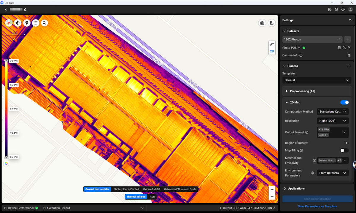
Terra builds the model. Modify cleans the mesh. Repeated surveys live or die on the coordinate system.
Terra turns a flight into a measurable file. Modify repairs a mesh you already...
Read articleNo articles match. Try another type or a shorter search.