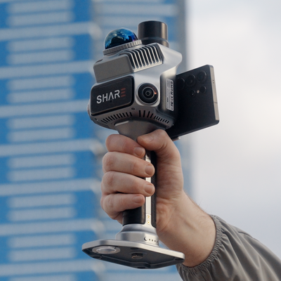
Landscape work fails in the same place building as-built fails: the bit the drone cannot see. Tree canopy. Courtyard walls. The downhill face of a rockery. The path under a fig. Tape and total station can pick points. They are slow at describing a garden as a place.
SHARE's landscape planning page is built for that gap. Walk the garden with a handheld SLAM scanner. Capture terrain, stems, structures and water edges in one traverse. Solve colour. Hand the designer a cloud they can section, not a folder of site photos.
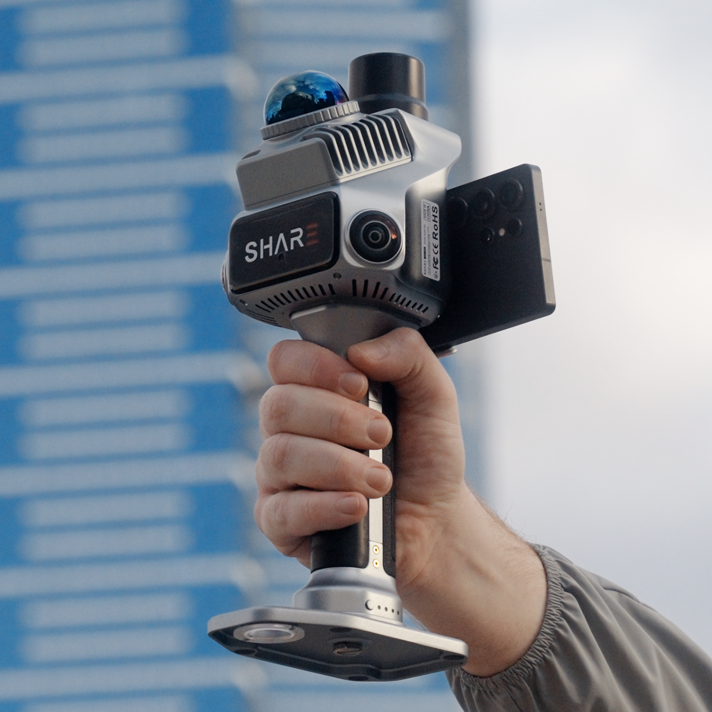
We sell that walk on SHARE C1 and SHARE C1 Pro. Large country parks and golf-scale range is when we talk C10. Most campus, streetscape and residential landscape jobs are C1-class.
What the brief usually is
SHARE lists the same jobs we get on the phone:
- Urban park and green-space planning
- Campus and residential landscape design
- Classical or heritage garden recording
- Mountain, creek and waterfront edges where the path is narrow
- Significant trees: stem, crown envelope, relationship to paving and buildings
- Earthworks around a garden, not a whole mine
Pain on the traditional side is familiar. Irregular ground and planting are slow to pick as discrete points. Crown width and DBH are tedious by tape. Dense canopy blocks GNSS and hides the true ground from nadir photogrammetry. Pavilions and masonry details want texture as well as geometry.
A handheld walk does not make those problems vanish. It changes the unit of capture from "points I chose" to "the place as I walked it".
Why SLAM belongs under trees
GNSS under a fig is patchy. That is a SLAM problem, not a "buy a better rover" problem. C1 walks GPS-denied courtyards on fused LiDAR and visual SLAM. C1 Pro takes a fix in the open lawn, then carries the line under the canopy.
LiDAR returns through gaps in foliage. It does not magic a solid crown into a perfect DTM. In Studio you filter and classify. You will still see understorey and some ground. You will not get airborne-grade bare earth on a monsoon rainforest plot from a Mid-360 class handheld. Say that on the quote.
Relative accuracy under 1 cm on a clean walk. Absolute under 5 cm with RTK. That is enough for landscape documentation, tree protection zones, paving set-out checks and design base mapping. It is not a substitute for a cadastral boundary.
C1 or C1 Pro in a garden
SHARE's own hardware routing on the landscape page maps cleanly onto C-series names.
C1 for pocket parks, residential courtyards, dense shrubs, narrow paths. Indoor-outdoor thresholds (pavilion interiors) on the same battery. You already run control, or the client will take a relative model for design.
C1 Pro when colour and RTK both matter: heritage masonry, specimen trees that need texture, a campus that must sit on AUSCORS with the building scan, a streetscape that joins a drone roof. Dual 1-inch mechanical-shutter cameras are the difference when the designer will stare at bark and brick in a splat.
C10 when the site is a forest park, golf course or long waterway and 70 m is not enough. We will say so rather than sell you two extra hours of walking with the wrong range.
Live prices: C1 from $6,199, C1 Pro $7,999 AUD incl GST. In stock, available to buy now.
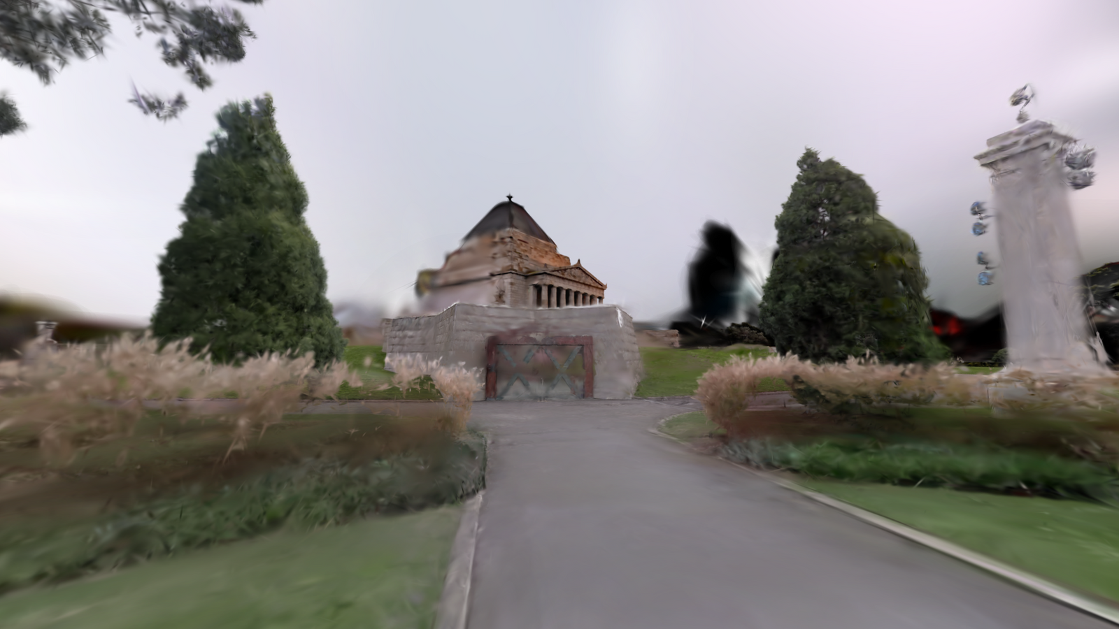
That clip is a large scenic site. Use it as a feel for vegetation and path walking. For a school courtyard, C1 Pro is the unit we would actually bring.

Docklands, Melbourne
Webb Bridge
- SHARE C1 Pro
- 7 min 50 s walk
- 26.3M points
- 3.7M Gaussians
Viewed in MapShare. Every SHARE scanner includes 12 months of MapShare Studio.
Field method
Walk the paths a visitor walks, then break off for the beds you need. Do not only hug the kerb. SHARE's landscape workflow is: walk, solve trajectory and colour in Studio, extract vegetation and earthwork where the cloud supports it, then drop the model into CAD or GIS the landscape team already uses.
Pace still matters. 0.5 to 1.0 m per second. Loop back along the same path. Wind in a canopy will move leaves. Scan on a still morning if the client is paying for stem detail.
Pair with a drone for the open lawn and roof. Walk what the canopy hides. Same AUSCORS mount on C1 Pro. See drone plus handheld.
What you hand the landscape architect
A colourised cloud they can section for levels and set-out. A MapShare link for the client committee that will never open Recap. Optional Gaussian splat from Studio when the stills are dense enough. Measure still lives on the point cloud.
Same delivery for a pavilion interior: this apartment as-built. Twelve months of MapShare Studio with every C1 and C1 Pro.
Scope on the quote
Published C1-class accuracy is centimetre-class relative, five-centimetre-class absolute with RTK. That is the number we write, not millimetre trees.
A handheld walk does not replace a registered surveyor on boundaries.
A 40 hectare botanic garden is a different kit. Ask for C10 when standoff regularly exceeds what 40 to 70 m can hold.
If the project is a courtyard, a streetscape, a campus quad or a heritage garden fabric survey, book a demo. We walk a sample bed and a building edge so you can see under-canopy ground and colour on the phone before you buy.
SHARE C1 Pro · SHARE C1 · C1 series
Read next: as-built interiors · how SLAM works · C1 vs C1 Pro
FAQ
Can handheld LiDAR see through trees?
It records returns from stems, branches and some ground through gaps. It does not delete the canopy. Filter in Studio. Pair with a drone over open grass.
Is this for landscape architects or surveyors?
Both. Architects want a design base and a client walkthrough. Surveyors want a georeferenced cloud that joins the building and the drone block. C1 Pro is the usual mixed-site pick.
Do I need C10 for a suburban park?
Usually no. C1 Pro covers streetscape, playgrounds and planting at C1-class range. Ask for C10 when standoff regularly exceeds what 40 to 70 m can hold.