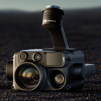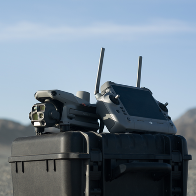
We sell thermal aircraft. After the handover, the question that comes back is not how to fly the H30T. It is what to do with DJI Thermal Analysis Tool 3 once the cards are off the aircraft.
TAT 3 is honest software. Open an R-JPEG. Read the temperatures. Measure a point. That is inspection of a single frame. DJI built it for that.
Then you have a folder. The asset owner wants a report: which bay, how hot against what, how serious, where on the site and your logo. TAT 3 does not paginate that. If you already hold a thermography ticket from electrical, building or solar work, you already have a report method. If you do not, you are assembling it by hand.
We have seen the same folder leave site as a ZIP of R-JPEGs, a deck of stills and a severity number someone typed from memory. TAT 3 did its job on each frame. Nothing joined those frames into a document.
Buying the drone is the easy part
Thermal payloads sit in the catalogue. Flying them is a CASA job you already know how to train. The payload pick is still H30 vs H30T. Docked thermal is a different aircraft (4D vs 4TD). Most crewed quotes land on Matrice 4T.
Entering the field as a thermographer is a different profession. Unless you are already certified for another task, drone thermal is open and sparse. There is no dense Australian playbook for "I bought an M4T last month and now I file NETA reports." The sensor is there. The method after landing is thin.
We did not write Thermalmapper to mint that ticket. A PDF with a logo on it does not make you a thermographer. We wrote it for crews already flying H20T, H30T, M4T, M30T and Mavic 3T who still have to send a file the owner can action.
What we actually built
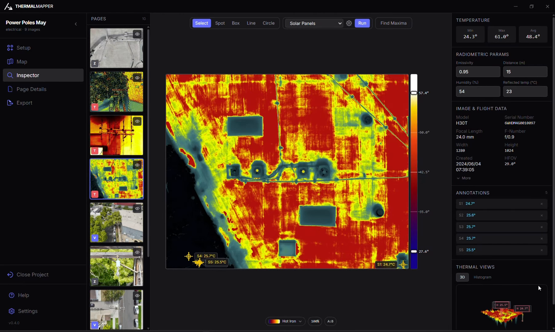
Thermalmapper is a Windows app. Point it at the job folder. It builds a local .tmap. Temperatures come from the DJI SDK, not from the colour of the pixels. Palettes, point, box, line and circle sit on the frame. Findings drop onto a map as a GPS pin plus a field-of-view cone on Esri imagery. Overlay the GIS you already have if the asset is mapped. It does not stitch an ortho.
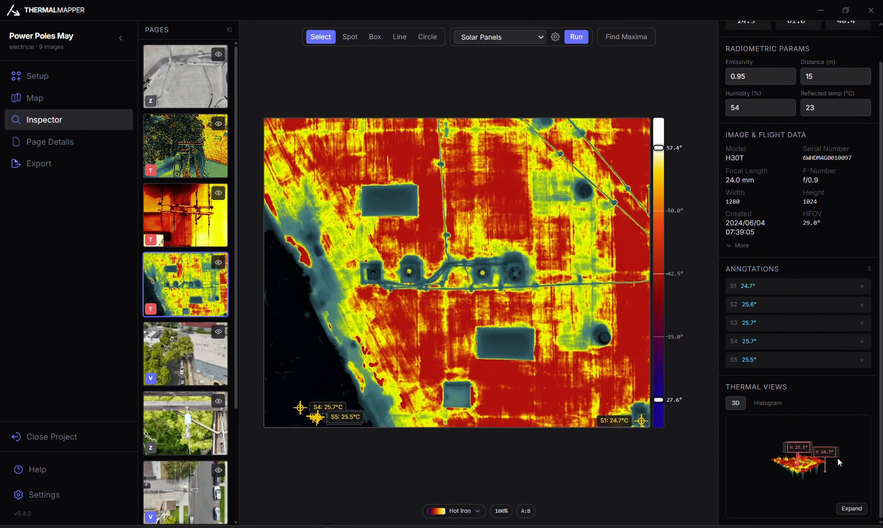
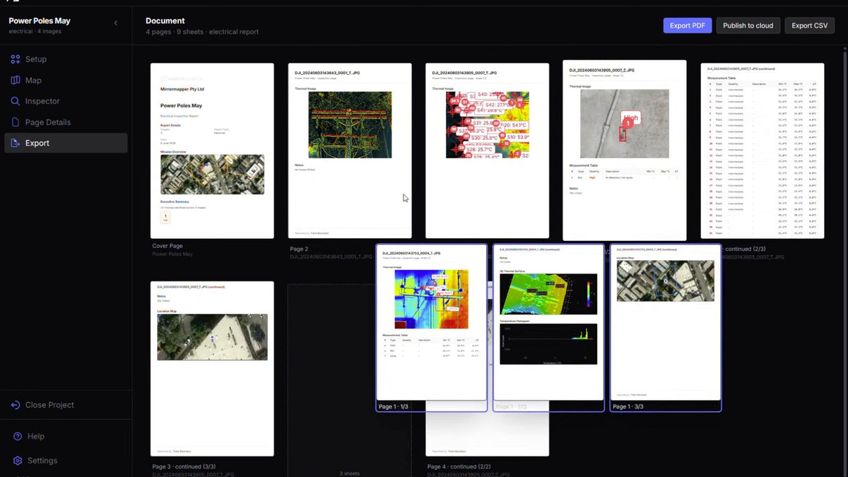
Severity comes from the template you pick: NETA and NFPA 70B, IEC 62446-3 style ΔT, AS 4349.1. The page editor is the PDF: cover, paired RGB and thermal, measurement table, conditions, your headers. Findings also export as CSV and GeoJSON.
Free forever. Unlimited reports. No licence, no seat, no renewal. Leave name, email, business and phone on the page. We email the installer. There is no public download link.
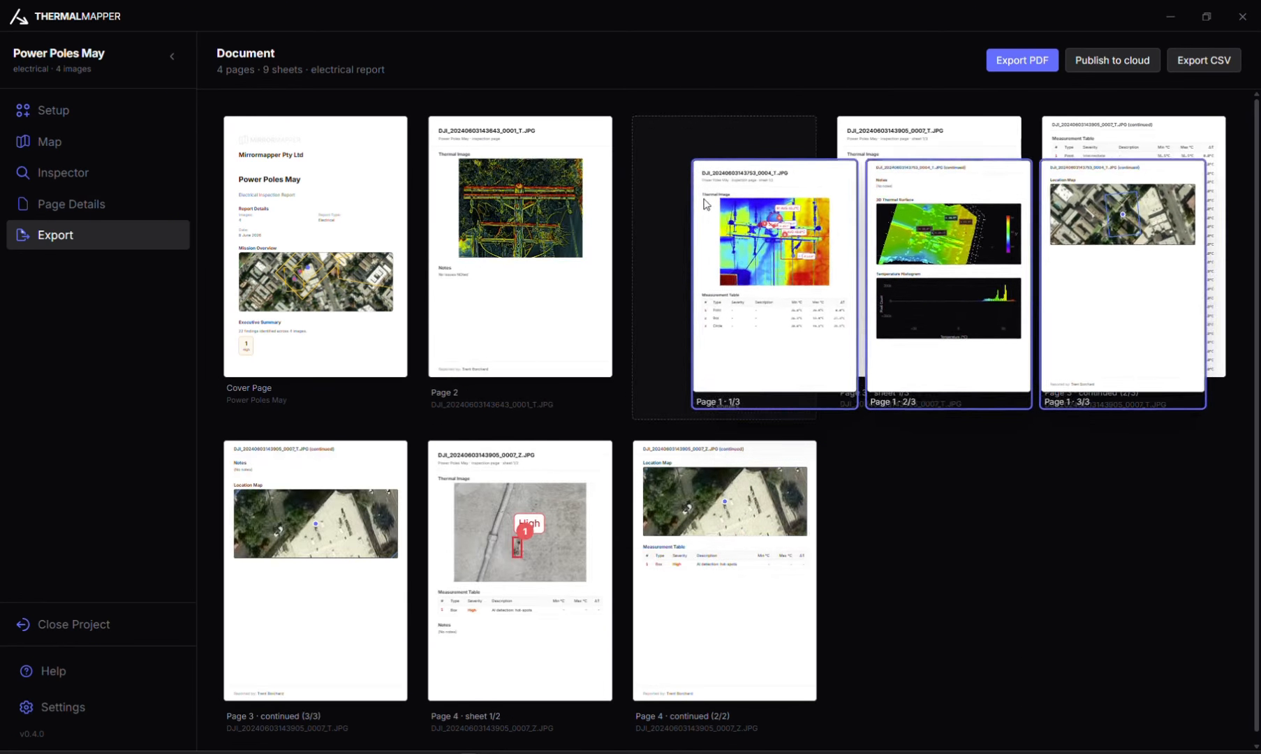
What leaves the machine
The client gets an A4 they can print, file or forward. You keep the .tmap if the job comes back. The folder you copied off the aircraft becomes the report. TAT 3 does not have to pretend it is a layout tool.
If the client needs a 3D scene they can measure in a browser, that is MapShare. Different job. We wrote about why that exists separately.
Get the download. Sign up on the Thermalmapper page and the installer arrives by email.
Read next: H30 vs H30T · 4D vs 4TD · why we built MapShare
FAQ
Is Thermalmapper DJI Thermal Analysis Tool 3 with a skin?
No. TAT 3 inspects a frame. Thermalmapper takes the job folder and lays out a branded A4. Mirrormapper builds it.
Does this replace a thermography ticket?
No. If you are already certified for electrical, building or solar work, keep that method. Thermalmapper does not make you a thermographer.
How do I get the installer?
Get the download. Leave name, email, business and phone. We email the installer to that address. There is no anonymous link on the page.
What cameras does it take?
R-JPEG from the H20T, H30T, M4T, M30T and Mavic 3T.
Does it stitch an ortho?
No. The map is a GPS pin plus a field-of-view cone on Esri imagery. Findings also export as CSV and GeoJSON.
Is it a client portal?
No. It runs on the operator's PC and exports a branded PDF. MapShare is the browser scene for a SHARE project.