

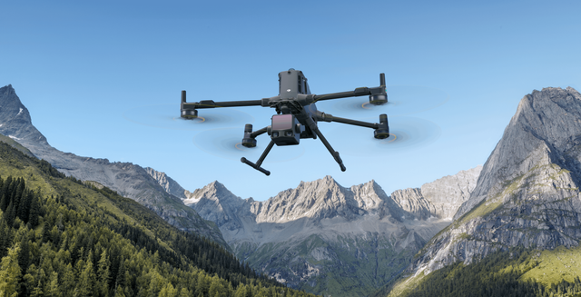
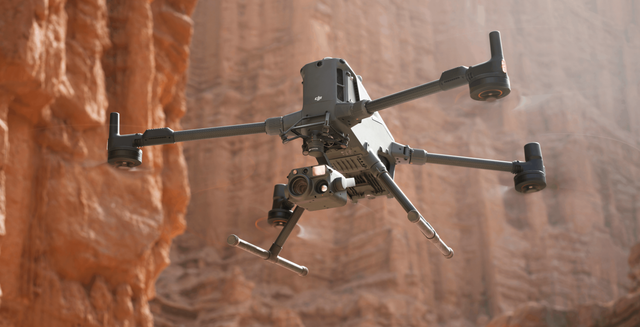
Matrice 400 LiDAR Mapping Kit
Built for corridor and area LiDAR Starts from M400 airframe plus power; payload specified with you Enterprise quote configuration
Ground Truth

Is the DJI Matrice 400 Overkill for Your Operation?

DJI Matrice 400 vs Heavy-Lift Alternatives - Capability vs Complexity

DJI Matrice 400 Overview - What It’s Designed For (And What It Isn’t)
DJI Matrice 400 vs Matrice 350 RTK - Is It Worth The Upgrade?
Zenmuse H30 vs Zenmuse H30T - What Is The Difference?
Discover Matrice 400 LiDAR Mapping Kit
What's in the box
 1×
1×
Matrice 400
 1×
1×
M400 Transport Case


 2×
2×
TB100 Battery Set

 1×
1×
D-RTK 3 Station
 1×
1×
D-RTK 3 Tripod


 1×
1×
LiDAR Cover
 1×
1×
USB-C Data Cable
 1×
1×
Cleaning Tools
 1×
1×
E-Port Covers and Screws
 1×
1×
Gimbal Mount Spare
 7×
7×
Power Cable AC

 1×
1×
Screw and Tools
 1×
1×
M400 Propeller Holders
 1×
1×
PGYTECH CreateMate High-Speed Memory Card Reader
 1×
1×
SanDisk Extreme Pro 2TB Portable SSD
 1×
1×
SanDisk Extreme PRO 256GB
 1×
1×
Landing Pad 55cm
 1×
1×
UGREEN FineTrack Smart Finder Tracking Device
Reviews
What customers are saying
Real feedback from teams using this equipment in the field.
Be the first to share your experience
Teams like yours rely on real field feedback before they buy. A quick review helps the next operator choose with confidence.
Takes about 2 minutes · Verified by Judge.me

Not sure which kit you need?
Tell us the job. survey, inspection, mapping, or scanning and we'll spec the right platform, payload, and RTK setup. No guesswork.