There is a gap in most mapping workflows, and it is exactly the part you cannot fly. Your drone handles the roof, the open ground, the site. Then you reach a stairwell, a plant room or a tunnel, GPS drops out, and you are back to a tape measure.
SLAM scanning is how you close that gap on foot. Here is a plain overview of the two technologies behind it, how they work together, and what that gives you as a mapping tool.
What LiDAR is
LiDAR measures the world with light. The sensor fires rapid laser pulses, measures how long each one takes to bounce back, and turns that into a precise distance. Do this hundreds of thousands of times a second in every direction and you get a dense 3D map of points, called a point cloud, that captures the exact shape and size of whatever is around the sensor.
In short: LiDAR is what captures the detail and the measurements.
What SLAM is
SLAM stands for Simultaneous Localisation and Mapping. It is the clever part that lets you scan while moving. As you walk, the scanner constantly works out where it is and builds the map at the same time, with no GPS and no control points set up in advance. It does this by tracking how it moves between each scan, using motion sensors and cameras alongside the LiDAR.
In short: SLAM is what lets you walk through a space and have it map itself.
Better together, and survey-grade with RTK
On their own, each has a limit. LiDAR measures brilliantly but does not know where it is moving. SLAM tracks movement but needs something measuring the space. Put them together and you can walk through anywhere, indoors or out, and a colourised point cloud builds in real time.
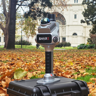
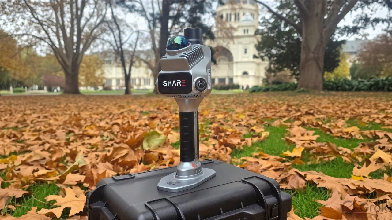
Add RTK (a high-precision GPS correction built into a unit like the SHARE S20) and the cloud is georeferenced, meaning it sits in real-world coordinates. That is the difference between a 3D picture and a survey-grade dataset. It also means an indoor walk registers cleanly against your drone data, so inside and outside become one model.
What you use it for
This combination shines wherever a drone or a total station struggles:
- Interiors, stairwells, plant rooms and multi-storey fit-outs
- Tunnels, basements and other spaces with no GPS
- As-builts, scan-to-BIM and volume measurement
- Heritage and confined spaces that need detail without contact
- Whole-site capture: fly the outside, walk the inside, one registered model
You walk the space in minutes instead of measuring it by hand for hours, and you come away with accurate, true-colour 3D data ready for your usual software.
The takeaway
LiDAR captures the detail. SLAM lets you capture it on the move. RTK ties it to the real world. Together they are the half of the mapping job your drone was never going to do, and they turn the spaces you used to skip into work you can win.